NavList:
A Community Devoted to the Preservation and Practice of Celestial Navigation and Other Methods of Traditional Wayfinding
From: Frank Reed
Date: 2021 Jan 10, 10:51 -0800
David Pike posted details and a link for an upcoming webinar on map projections:
"The next Royal Institute of Navigation webinar will take place on Wednesday 13th January 2021 at 19.00 UTC (London Time) when RIN President Professor Terry Moore will present “An Evening with Map Projections”. The event, which is open and free of charge to all (RIN Member or not) will be aimed at U3A (USA - Lifelong Learning Institute) Level. Please follow this link to register - https://rin.org.uk/events/EventDetails.aspx?id=1466045&group= ."
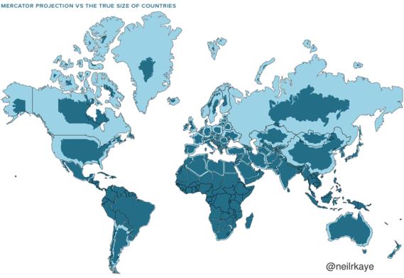
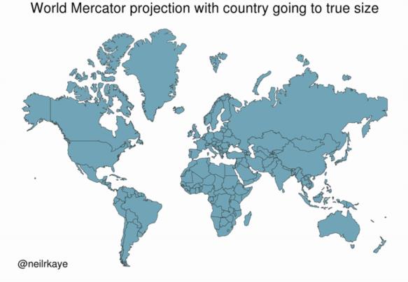
There's a little illustration of the standard (well-known!) scaling problem with the Mercator projection that has been making the rounds on social media. It takes a global Mercator chart and then shrinks the shrinks each country or island until its area is closer to reality. Countries and islands in high latitudes still suffer from distortions within their own territory. For example, Greenland and Russia both have bloated appendages on their northern coastlines. The result in these images should not be interpreted as a better projection or a replacement projection. It's just a reminder and a demonstration of the severity of the issue. See below (note: the second image is an animated GIF which should display as an animation but it depends on browser settings and various details on your end).
Frank Reed


