NavList:
A Community Devoted to the Preservation and Practice of Celestial Navigation and Other Methods of Traditional Wayfinding
Great Circle Sailing Chart
From: Robin Stuart
Date: 2016 Jan 14, 12:26 -0800
From: Robin Stuart
Date: 2016 Jan 14, 12:26 -0800
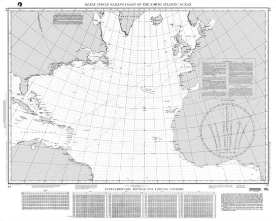
The NGA Chart 17 "Great Circle Sailing Chart of the Noth Atlantic Ocean" has a graphical device in its lower right hand corner for determining the great circle bearing of the destination from the point of departure. The instructions call for locating the point on the great circle (a straight line) at 5°, 20° or 30° longitude difference from the point of departure. This point and the point of departure are then located on a pair of curves in the diagram. A line drawn through the points gives the bearing. What are the principles by which this works?
Robin Stuart


