NavList:
A Community Devoted to the Preservation and Practice of Celestial Navigation and Other Methods of Traditional Wayfinding
Re: The Bygrave
From: Hein Bodahl
Date: 2009 Jul 24, 09:09 +0200
From: Hein Bodahl
Date: 2009 Jul 24, 09:09 +0200
On 23.07.2009 04:15, waldendand@YAHOO.COM wrote:
> Here's a revised version of a Bygrave scale.  I use a FORTRAN program to write out postscript text.

A while back Martin helped me to do some additions to his PS-version
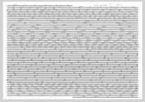
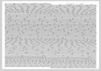
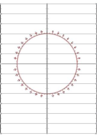
Bygrave, the resulting pdf's is attached.

I figured that if you laminate a sheet why not use both sides. So I
split the log cotan scale in two and increased the number of lines to
extend it. It should be just short of 9 meters. Going for accuracy
rather than more span.

I am not sure how helpful some of the additions are. They may just
clutter up the scale. To make it easier to read the cosine scale I mark
it with a thin whiteboard pen, reading it against a white background
rather than the clutter of the cotan scale.

One need to pay attention when counting the marks as they have different
meaning according to style and placement.

It is scaled for A4 using a HP 4700 color laserjet. The fit is very
snug so other printers may need to scale it down.
Remember to scale both cos and cot.

I also scanned the tables from Mr. Kolbes "Long Term Almanac" and
printed them in reduced format on laminated paper. The complete set fits
nicely on 9 sheets (A4) including the Bygraves, a star map, millimeter
paper for sight averaging, a plotting sheet and workform to be filled in
with the whiteboard pen.

Using matte laminating pockets you could probably use a soft pencil so
you don't have to worry about the pen drying out.

Hein


--~--~---------~--~----~------------~-------~--~----~
NavList message boards: www.navlist.net
Or post by email to: NavList@navlist.net
To , email NavList-@navlist.net
-~----------~----~----~----~------~----~------~--~---


