NavList:
A Community Devoted to the Preservation and Practice of Celestial Navigation and Other Methods of Traditional Wayfinding
From: Frank Reed
Date: 2024 Jan 20, 02:20 -0800
Gary LaPook, you wrote:
"Since the tables I posted only go up to a maximum speed of twelve knots, just double the ten-knot values for your twenty-knot speed. "
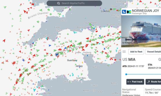
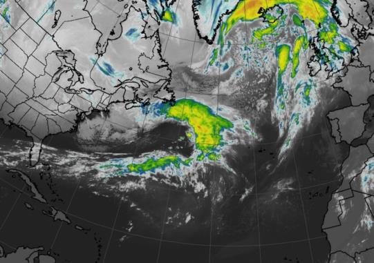
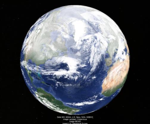
But he's already there (almost!). That's the thing about flying along at 20 knots. The crossing is fast. Current position of "Norwegian Joy" per marinetraffic.com is already well inside the English Channel roughly on the longitude of Torquay. He may have some time to get in some sights today, but, checking Torquay and Cherbourg, it looks like moderate clouds as of now increasing rapidly during the remainder of the day. I'm attaching the current vessel position from marinetraffic and also two views of North Atlantic weather, which is notoriously cloudy in January. The view from Google Earth, though, is (in my experience) visually "pessimistic". This morning in the English Channel should be "partly cloudy" and ought to be good enough for some Sun sights. Maybe?
So what has changed in ten years, or better yet, twenty for a celestial navigation enthusiast crossing the Atlantic on a cruise ship? No one has mentioned it yet, but I think it's worth calling out: internet is now everywhere. And so is AIS. So we all can know the position of the ship "Norwegian Joy", updated approximately once every minute, sitting wherever each of us are, from thousands of miles away.
Frank Reed


