NavList:
A Community Devoted to the Preservation and Practice of Celestial Navigation and Other Methods of Traditional Wayfinding
From: David C
Date: 2018 Jun 1, 15:40 -0700
Noell wrote
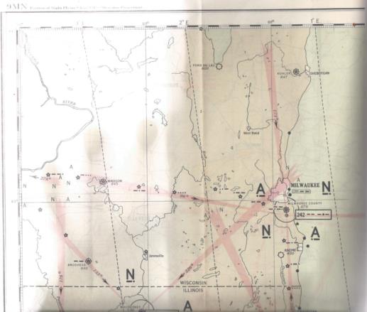
Air navigation in the 1930’s was just barely possible as compared to today with “glass panels” and clear displays. See
https://en.m.wikipedia.org/wiki/Low-frequency_radio_range
for an indication of how they found a location by radio only.
What I like about photos of this type is knowing that the two pilots are FLYING the plane, not monitoring a computer. Knowing that the pilots and/or the navigator will have worked out a flight plan with detailed fuel calculations. Knowing that the navigator knows the critical point and the point of no return. Ok, that's probably a romantic point of view but so much more interesting than aviation today!
I have attached a (poorly) scanned paged from US Coast and Geodetic Survey Special publication No 197 "Practical Air Navigation and the use of the Aeronautical charts of the US Coast Guard and Geodetic Survey" 1938 edition.
FWIIW many decades ago when I was licensed to fly cessna 150s I remember flying over four tall lattice towers. I have confirmed by reference to old charts in the archives that this was a decommissioend radio range station. NZ had four or five radio ranges.


