NavList:
A Community Devoted to the Preservation and Practice of Celestial Navigation and Other Methods of Traditional Wayfinding
From: Antoine Couëtte
Date: 2015 Feb 28, 04:31 -0800
Dear Hanno,
I earlier simply stated that if the Pyramid shown in post g30486 is thought or "advertised" as being a Pyramid with vertices "pole, GP, AP, Earth's center", then it is a misleading statement.
Let's review the terms definition first:
Pole: is self-explanatory,
GP : this the [Body Projection onto the Earth Surface]
AP : this is the Navigator's position
Center: self explanatory
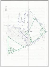
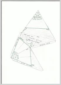
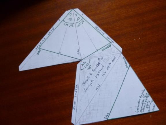
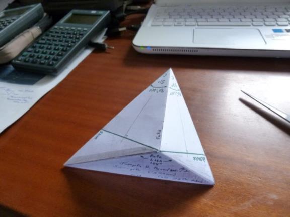
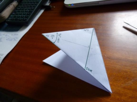
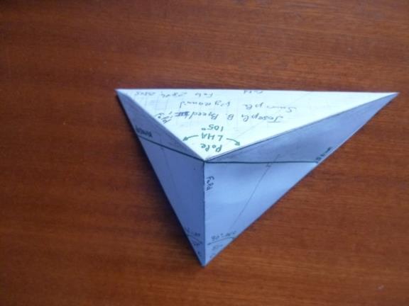
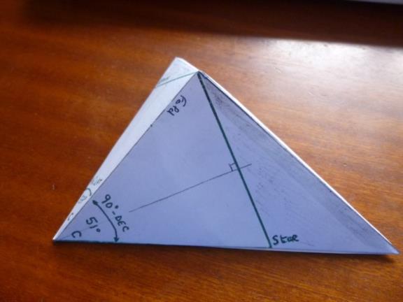
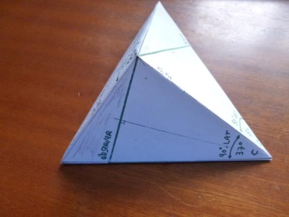
The Pyramid actually shown in post g30486 is bigger than any "pole, GP, AP, Earth's center" Pyramid because Pyramid in post g30486 shows up the Local Hour angle Value in a plan (necessarily parallel to the equator) which is totally outside the Earth Sphere (except at the Pole itself). Accordingly under any case both the Observer's position and the [Body Projection onto the Earth Surface] position can not be part of the plan where the LHA information is written. In post g30486 you can see that point S' which folds up into Point S, and therefore Point S itself, as well as point O, all these 3 points show up as being the limitings points belonging to this of this plan (parallel to the Equator). So far, so good, but what is misleading, is that the hand drawn * (star) showing up near point S which eventually folds into point S') and the hand drawn ship sail and anchor (near point O) are naturally construed as being on the Earth surface. It took me some time to realize that they are NOT on the Earth Surface, they are on Plan parrallel to the Equator and which contains the pole. In other words, I'am back to my very first statement of this post, if the Breed's pyramid shown in post g30486 is "advertised" as being a Pyramid with vertices "pole, GP, AP, Earth's center", then it is a misleading statement.
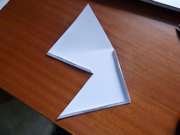
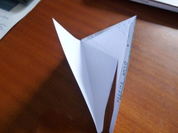
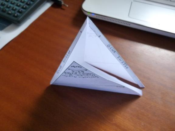
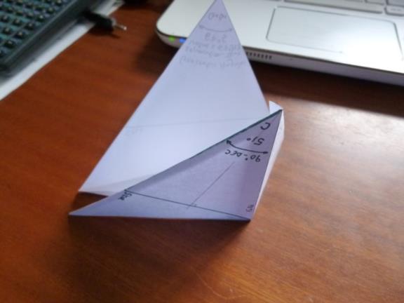
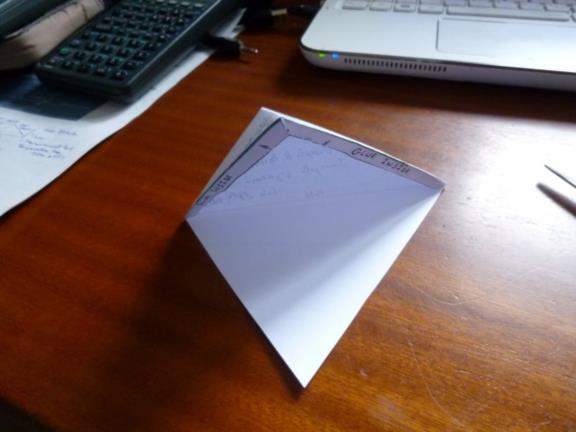
Have a look at the 2 .pdf documnts and the 15 following up pictures which are published in chronological order.
The CelNav computations Pyramid we are interested in the Green edged one, i.e. outside the hand shadowed areas. Look at it before starting cutting and pasting. This green edged Pyramid has the following limits (or vertices): Pole, Earth Center, Observer's Postion and [Body Projection onto the Earth Surface]. Note: I had to slightly modify my first published drawing in order to make the green edged pyramid consistent with this definition. (However this small modification does not change at all the overall shape of the paper construction. The only difference is that from the star position, the green line now goes towars the Pole itself and not directly towards the [Body Projection onto the Earth Surface], and conversely).
Hopefully no longer clear as mud ... :-)
Best Friendly Regards
Kermit
