NavList:
A Community Devoted to the Preservation and Practice of Celestial Navigation and Other Methods of Traditional Wayfinding
Re: Bris Calibration Image
From: Greg Rudzinski
Date: 2017 Nov 6, 11:45 -0800
From: Greg Rudzinski
Date: 2017 Nov 6, 11:45 -0800
For an exercise - what is the distance from the mountain peak on Santa Cruz Island as seen in the image back ground ? Mountain peak elevation 1808 ft. Height of eye 8 ft. Hs of peak above horizon 0° 48.2'. For extra credit- what is the azimuth to the peak ? Sun 11/04/2017 UT 23:35:14 Lat34° 10.5'N Lon119° 14.1'W
Greg Rudzinski
From: Greg Rudzinski
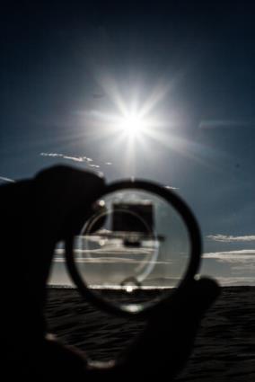
Date: 2017 Nov 6, 09:27 -0800This calibration image is taken with the 35mm prime super takumar. The #4 Bris reflection has the upper limb Hs just about exactly zero from an 8ft. height of eye.
Lat 34° 10.5 N Lon 119° 14.1 W
Hs work out backwards to 15° 36' for reflection #4 on this homemade Bris sextant.
Greg Rudzinski
Attached File:


