NavList:
A Community Devoted to the Preservation and Practice of Celestial Navigation and Other Methods of Traditional Wayfinding
From: David Pike
Date: 2021 Nov 3, 07:49 -0700
Lars Bergman you wrote: DaveP, yes, for practical navigation you do not need these formulas. What you need is the new initial course from your current position to your intended destination, and maybe it could be interesting to see the remaining distance.
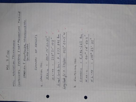
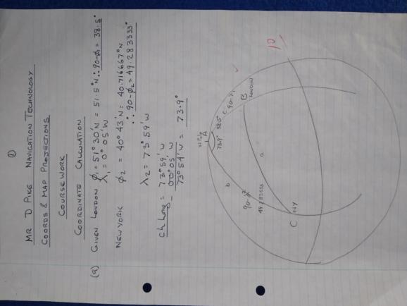
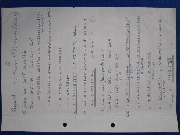
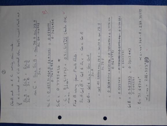
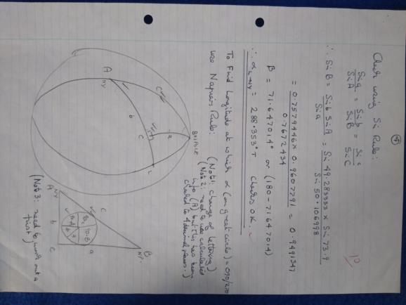
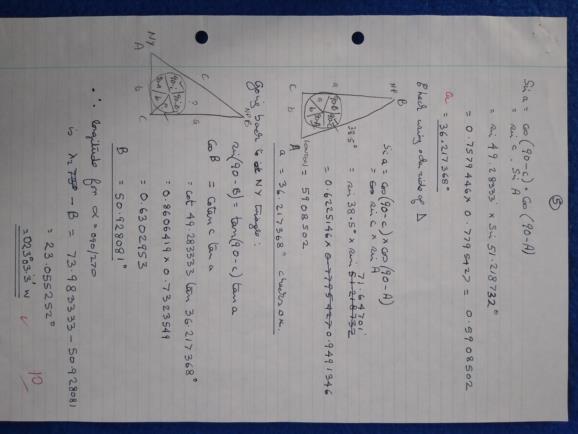
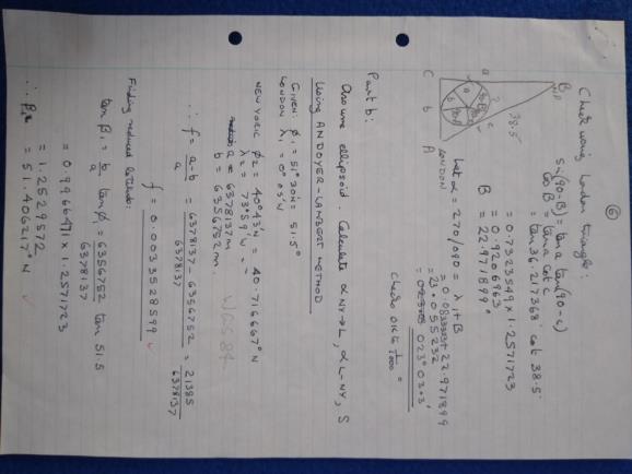
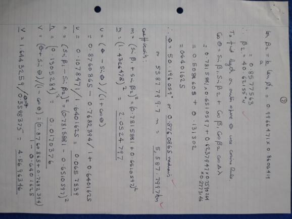
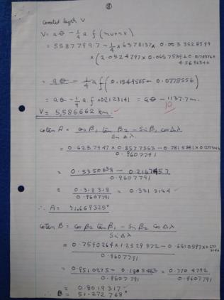
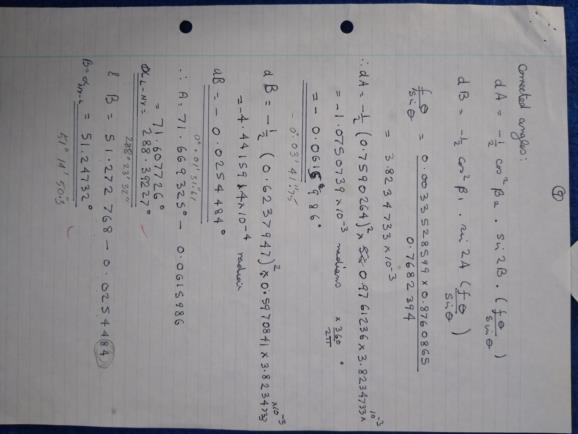
Yes, 21 years ago this month I was required to produce the initial great circle courses and distance from New York to London and return and the point at which the course was 090/270 using spherical geometry. Then the courses and distance using ellipsoidal geometry. It prompted me to lash out £10 for a Casio fx-99s scientific calculator, which I still use today. Insomniacs might like to check my working, but please don’t ask me to explain it. Today, it reads to me like bagpipe music.
In the Vulcan in the 70s and 80s, we approximated the great circle between Labrador and Lincolnshire by flying north-east towards Greenland for a bit; then flying east across the Atlantic; then finally flying south-east to Waddington.
Looking at Sir Arthur Whitten Brown’s Atlantic Mercator, I believe I can see where he’s faintly marked in the great circle between Newfoundland and Clifden. https://museumcrush.org/six-objects-telling-the-story-of-the-first-non-stop-transatlantic-flight/#gallery-5 This might have been to show the difference between the great circle and the rhumb line, or it might have been to help plot any radio bearings he was hoping but failed to receive from Clifden enroute. DaveP
