NavList:
A Community Devoted to the Preservation and Practice of Celestial Navigation and Other Methods of Traditional Wayfinding
From: Bob Goethe
Date: 2019 Oct 26, 11:22 -0700
You all may remember Carly Butler from a year or two ago, asking for advice on learning celestial navigation. She is a professional artist that uses nautical/navigational themes in her work.
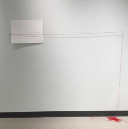
Part of her work has to do with how we perceive distance and direction. So she is undertaking a "virtual journey" by foot from Ucluelet, her home to Clyde River, Nunavut (the half-way point from Ucluelet to Cambridge, England, from where her collaborator is also undertaking a virtual journey) following a great circle route. She calls this Project S, so named after the first message sent by radio across the Atlantic, by Marconi: the letter "s".
Exhibit patrons, of course, tend to visualize the world in terms of Mercator projections, and that shortest distances are all rhumb lines. As an artist, she is trying to find visual ways to help people expand their perceptions.
She has also made efforts to dovetail some of her work with the journals of David Thompson (1770-1857) who, sextant in hand, managed to map much of Canada. Some of Thompson's maps continued in use up into the 20th century.
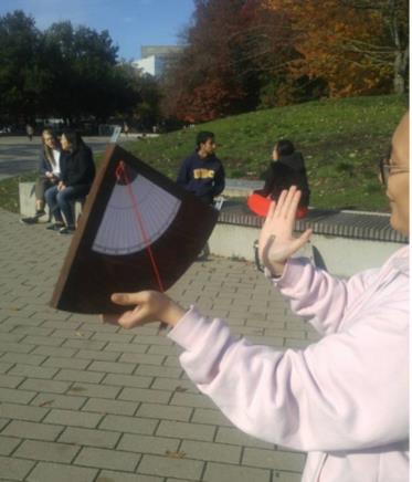
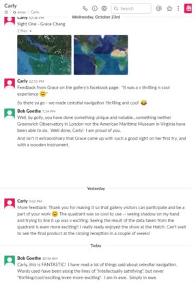
She has, right now, an art exhibit at the Hatch Gallery, in Vancouver, Canada, and one of the things it does (in addition to materials related to her virtual journey to Clyde River) is to seek to engage gallery goers with celestial navigation. Carly has made a wooden quadrant, and lets exhibit patrons take it outside to take a sun sight. She then uses software from Navigational Algorithms to show the patron what their own COP looks like. I understand that for the closing reception for the exhibit, on Nov 7, she will combine all the sights by all the patrons to show the COPs crossing in Vancouver.
If anybody can get to Vancouver on Nov. 7 for the closing reception, Carly would welcome you enthusiastically. I am looking into flying to Vancouver for that date myself.
Bob


