NavList:
A Community Devoted to the Preservation and Practice of Celestial Navigation and Other Methods of Traditional Wayfinding
ChartWork
From: Andrés Ruiz
Date: 2022 Jan 12, 11:06 +0100
--
From: Andrés Ruiz
Date: 2022 Jan 12, 11:06 +0100
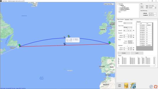
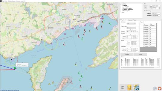
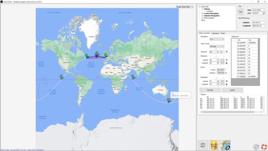
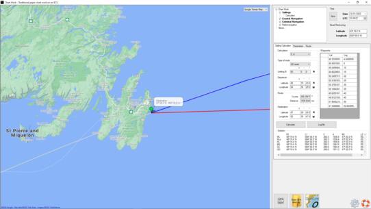
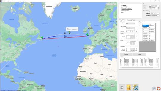
Chart Work - Sailings: Rhumb line, Great Circle, Composite sailing, Meridional parts. Lines of position: coastal (bearing, range, horizontal angle), celestial (Sumner, MSH, CoP), radionavigation (RDF). Piloting: currents (drift & set, Lasheras, cyclonic) and coastal fix (fix by 2-3 brg, fix by 2 HA). Plot on map. GPX output.
Maps:
- Google Maps (standard, hybrid, satellite, terrain)
- Bing Maps
- Open Sea Map.
Example attached:
- 1 - departure.png
- 2 - destination.png
- 3 - RL & GC.png
- 4 - vertices & nodes.png
- 5 - composite route.png
Best regards.
