NavList:
A Community Devoted to the Preservation and Practice of Celestial Navigation and Other Methods of Traditional Wayfinding
From: Sean C
Date: 2018 Sep 25, 22:41 -0700
Attached are some screenshots of Andrés' program working with OpenCPN. This is a hypothetical fix for this morning (my birthday!) at civil twilight, at the mouth of the Chesapeake Bay - near where I live. (Of course, you wouldn't need celestial this close to land, but I thought you'd like to see how OpenCPN displays charts.)
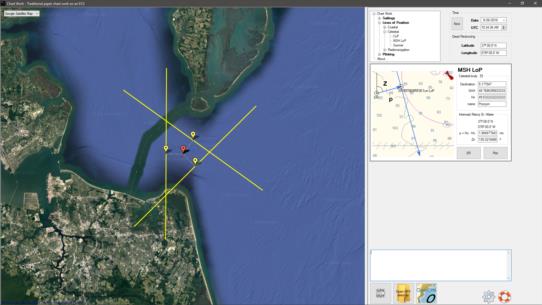
The first image is of Andrés' program. All you need to input is the DR position, date/time, the GHA and declination of each body, the observed altitude (Ho) and the name of the body. You then press the "SR" (sight reduction) button to get the intercept (p) and azimuth (Zn). Pressing the "Plot" button puts an LOP (or COP or Sumner line) on the map. Rinse and repeat for each body. Once you have entered the data for all of the bodies you shot, you can press the "GPX OUT" button (lower right) to generate a GPX file which can be opened by OpenCPN. Although ... Andrés' program shows you exactly where you are on a Google map so - in a pinch - you don't even really need OpenCPN.
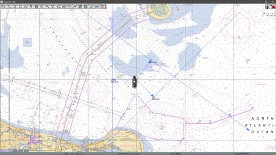
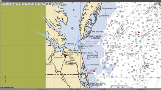
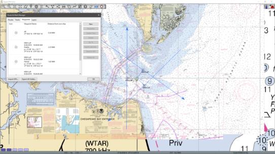
The second image shows the GPX file loaded into OpenCPN. To accomplish this, all you need to do is press the "Import GPX" button in the "Route & Mark Manager" window and navigate to the place where Andrés' program outputs the file (C:\Navigational Algorithms\GPX), select the appropriate file and press "Open". The boat icon is black, indicating that OpenCPN is not receiving a GPS signal - otherwise it would be red. You can just see the AP waypoint next to the boat icon. Leading away from the AP are the intercept lines which point to each LOP. The third image is a zoomed out view, showing the plot on a larger area chart. The fourth image shows yet another zoom level. Here you can see OpenCPN's "quilting" of different charts. Also, you can see the "Route & Mark Manager" window - which is displaying all of the information from Andrés' program, including the distance of each LOP and the AP from the current position of the boat icon. The icon can then be moved to wherever you think the most probable position is.
Keep in mind that even if your GPS is working, you can input celestial data into OpenCPN to cross-check your position. And all charts for the U.S. are free ... as is OpenCPN and Andrés' programs. :D Thanks, Andrés!
-Sean C.


