NavList:
A Community Devoted to the Preservation and Practice of Celestial Navigation and Other Methods of Traditional Wayfinding
From: David C
Date: 2017 Jul 31, 20:57 -0700
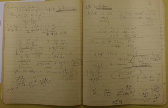
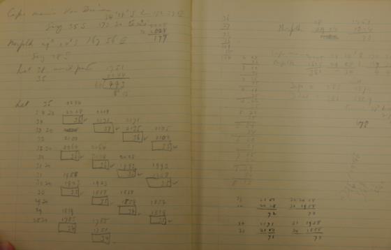
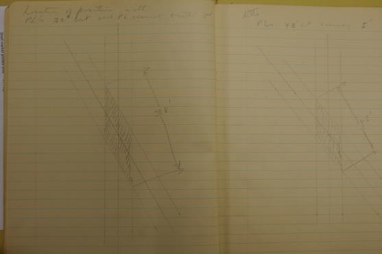
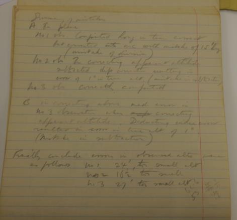
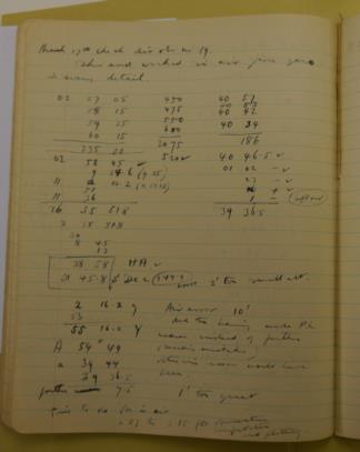
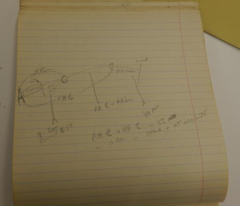
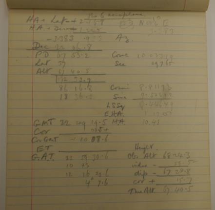
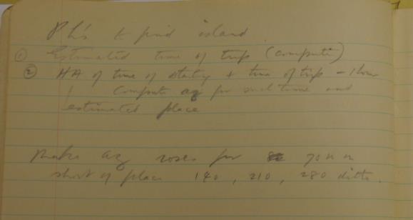
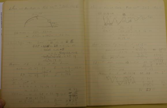
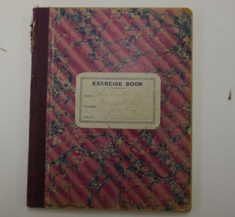
I have located two notebooks belonging the Chichester. He used them to record his navigation practice before the 1931 Tasman fight. Some sights were taken in the air and others "walking around". Some of the air sights were worked in the air, others on the ground. He calculated the distance and bearing of Lord Howe Island from Norfolk Island by Bygrave and then "ditto by Raper".
I have attached copies of some pages.
The notebooks are in the National Library of NZ. Also in the library is a photocopy of the log of his Tasman flight. The original is in the National Library of Australia in Canberra. Unfortunately, for reasons I will not bore you with, I could not make sense of the "log" and so did not copy any pages.
To ensure that the pages can be read I did not scale the images. This means that the file sizes are probably larger than desirable - if so I can scale them and re-send them.
