NavList:
A Community Devoted to the Preservation and Practice of Celestial Navigation and Other Methods of Traditional Wayfinding
From: Gary LaPook
Date: 2016 Aug 8, 11:48 -0700
For those comming late to this discussion of the Bygrave, here is the my flat version of the Bygrave sllide rule:
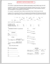
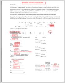
The instructions show you how to check every step of the computation on a simple calculator.
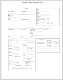
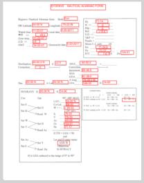
I have also attached the forms that step you through the computation.
gl
----------------------------------------------------------------------------------------------------------
I also attach a rough and ready spreadsheet I put together to aid in practicing with the model MHR1. Latitude, longitude, GHA and declination are entered in the “Control” tab and the values are passed to the “Bygrave”, “MHR1” (and “Modern”) tabs which compute altitude and azimuth according to the Bygrave and MHR1 instructions along with the necessary intermediate results. This is useful for debugging Bygrave/MHR1 calculations. Altitude and azimuth results are then written back to the “Control” tab in a common format for comparison. Bygrave and MHR1 calculations have been enhanced the method described at https://NavList.net/m2.aspx/Comments-BygraveMHR1-calculations-Stuart-aug-2016-g36126 to determine whether an object is above or below the horizon.
Robin Stuart


