NavList:
A Community Devoted to the Preservation and Practice of Celestial Navigation and Other Methods of Traditional Wayfinding
From: Rafal O.
Date: 2019 Feb 12, 23:31 -0800
Hello,
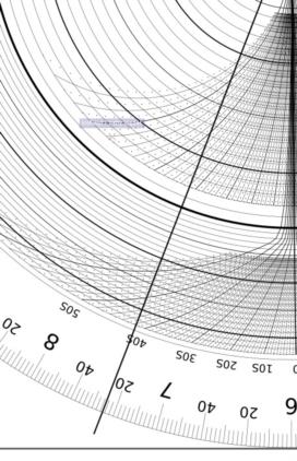
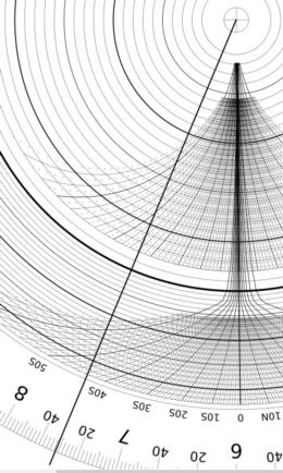
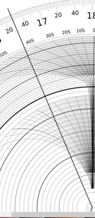
This is the first assembled unit. And I see that I need to change scales. When using better layout I get the following results
2019/11/15
EoT: -15, dec: 18S, 51N 17E
Sunrise: 0731 - 0015 - 0008 = 0731 - 0023 = 0708 (USNO: 0707)
Sunset: 1628 - 0015 - 0008 = 1628 - 0023 = 1605 (USNO: 1605)
2019/11/11
EoT: -16, dec: 17S, 51N 17E
Sunrise: 0725 - 0016 - 0008 = 0726 - 0023 = 0703 (USNO: 0701)
Sunset: 1635 - 0016 - 0008 = 1635 - 0024 = 1611 (USNO: 1611)
I think I need to work better during assembling these three plates. For sure the first layout does not work good for negative declination and it was corrected in the 2nd version. This version was used to get above results. I admit I need to make the real version and not only use Inscape.
About your question "The rear of the Dunlap has a table of G and Dec...". These two curves on the back denote Sun's declination and EoT that can be read directly using one pointer setting. On the front you can see table with longitude's corrections. For example for 17E I am located 2°E of the standard time zone which corresponds to -8min correction (read directly from the table). Hence, the total correction due to EoT and longitude is -15-8=-23 and -16-8=-24. I need to add these values to time taken from the fron face. This indeed differs from the original Dunlap's sunrise / sunset computer. However, I want to keep it as simple as possible. The more parts I need to connect the more it is prone to make mistakes.
I hope that within few days such real 2nd version will be available and tested.
Best regards,
Rafal


