NavList:
A Community Devoted to the Preservation and Practice of Celestial Navigation and Other Methods of Traditional Wayfinding
From: Frank Reed
Date: 2022 Mar 20, 12:40 -0700
I found myself uninspired by sextant practice this morning, so I ended up using the opportunity to give my neighbor a quick lesson in celestial navigation. Takes five minutes to teach basic sextant use and the basic idea of the subSun point and circles of position. Then she shot the Sun right at the moment of the equinox (within a couple of seconds) at 15:33:28 UT and got 44°42'. For IC and dip she subtracted 6'. Then -1' for refraction (useful to memorize that one: it's almost exactly 1' at 45° altitude). Finally add 16 for the Sun SD. That totals 44°51' for the corrected altitude of the Sun's center. What should she have gotten? Our location was 41°27.0'N, 71°23.9'W. We can use the short equinox equation for altitude (warning: this is only valid when the body's Dec is 0.0°):
Alt = sin-1[cos(Lat)·cos(Lon-GHA)]
and from standard almanac data (here's the data for an observer right at the subSun) for 15:33:28, we know that the GHA of the Sun was 51°30.7'. Doing the math on a calculator, the altitude should have been 44°49' (my USNO webapp clone yields the same, of course). So she was too high by 2' implying a line of position 2 nautical miles towards the Sun. Not too shabby for her first Sun sight! I didn't do any better. There was a fog bank offshore, and the horizon was indistinct.
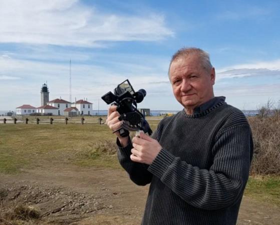
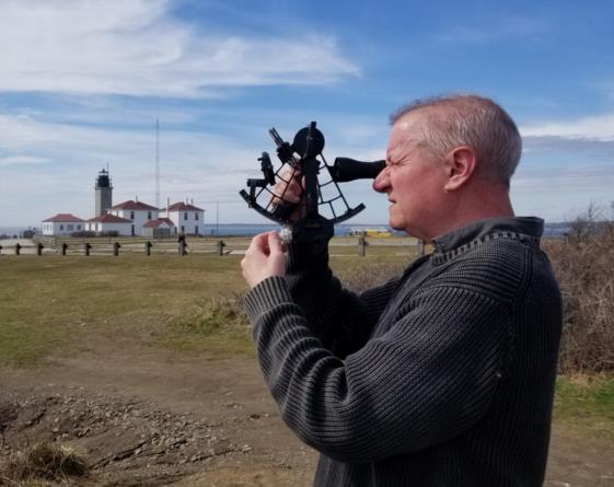
To clarify, I didn't tell my neighbor that I was going to teach her how to use a sextant and shoot the Sun. Instead I invited her along to take some photos of me with sextant. See below. My neighbor is a local artist. Visit her etsy store. You probably need a "Box o' Bunnies", right?
Frank Reed
Clockwork Mapping / ReedNavigation.com
Conanicut Island USA


