NavList:
A Community Devoted to the Preservation and Practice of Celestial Navigation and Other Methods of Traditional Wayfinding
From: David McN
Date: 2022 Nov 17, 22:57 -0800
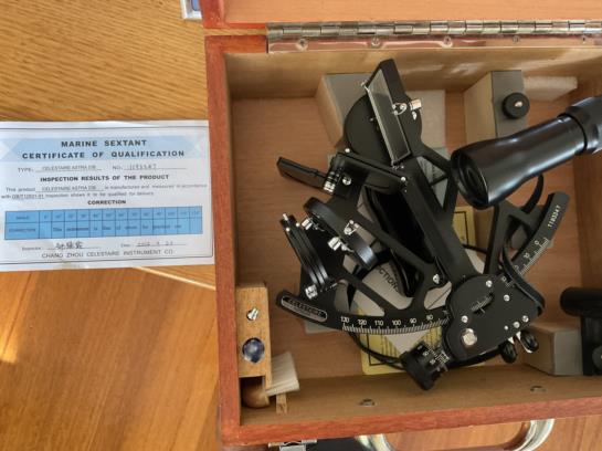
Frank, I used calculated altitudes from your app. I left the input boxes empty. Having calculated altitudes put me off using Thomson's method. When I attempt with my own observed altitudes I will run them through Thomson as well, since it is so fast and easy. As to my sextant, it's an Astra IIIB. I bought it from someone who had never taken it to sea and it's in good condition. I do want to use lunars to check it, once I get more confident in my methods.
Regarding clouds, I mean serious ones. We have had such a wet spring. Rivers have been at flood levels, dams are overflowing, we're all looking forward to some blue sky. Any other east coast Aussies on this thread will concur. But when it's wet in the east, it's dry in the west. West Australia is short of rain. It's the El Nino, La Nina oscillation.
Thanks again for your workshop.
All the best, David


