NavList:
A Community Devoted to the Preservation and Practice of Celestial Navigation and Other Methods of Traditional Wayfinding
From: Gary LaPook
Date: 2018 Mar 1, 01:10 -0800
From: Tracy Shrier
Date: 2018 Feb 18, 21:24 -0800
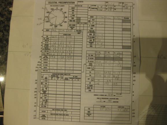
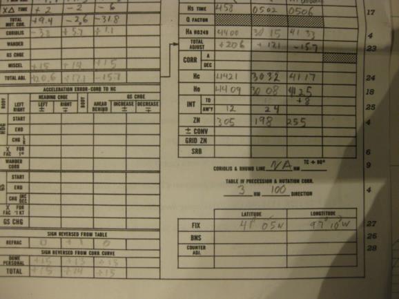
Sight reduction was done from the visual average of 2 minute sights. Altitudes of Mirfak and Aldebaran above 40° create greater refraction through the CRJ windows, as I'm working through my history I'm seeing the need for 15 or 20° more correction than the Std Dome, but I did not make any extra here. The cocked hat came out a bit wider with the refraction errors, but the CelNav fix is still only15-16 nm from our FMS location. I later ran a standard reduction on the sights and plotted lop's advanced/retired to 0500. The results: FMS - N41°14' W97°28' CPU- 41/P - N41°10' W97°10' Plotted - N41°10' W97°08'
---------------------------------------------------------------------------
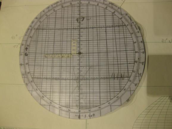
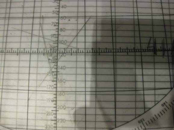
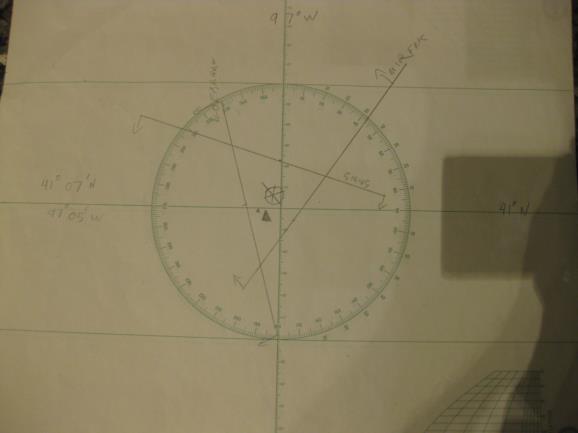
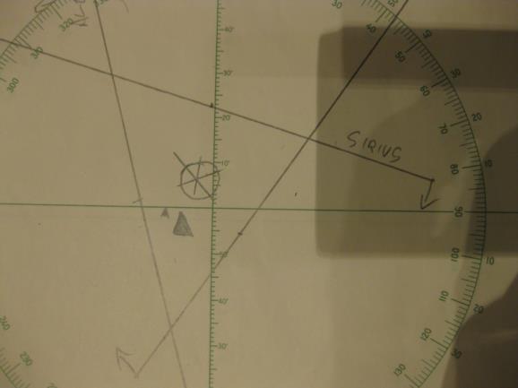
It was interesting going over your computations and I have attached my reproductions of them. I notice that you didn't apply the "precession and nutation" correction which requires moving the fix 3 NM in direction 100 ° true. I plotted the fix on the Polhemus and got fix coordinates of 41° 05' N, 97° 10' W. When I plotted on a plotting sheet I got 41° 07' N, 97° 05' W. On both plots I moved the AP 3 NM, 100° to allow for the P&N correction. Using the Polhemus MOO and MOB scales I ended up with two of my intercepts being 1 NM different from yours due to rounding.
gl
