NavList:
A Community Devoted to the Preservation and Practice of Celestial Navigation and Other Methods of Traditional Wayfinding
From: Tracy Shrier
Date: 2018 Feb 18, 21:24 -0800
I have finally taken sights and generated a fix position in flight! I have been studying/practicing pre-planning sights, using 249 V1 more, and (with thanks to Ed Popko and Gary LaPook) using the CPU-42/P Polhemus celestial computer.
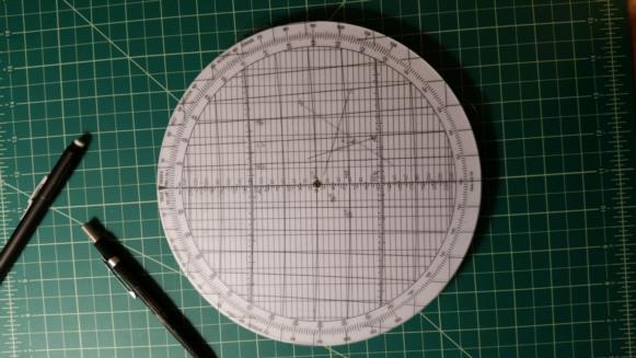
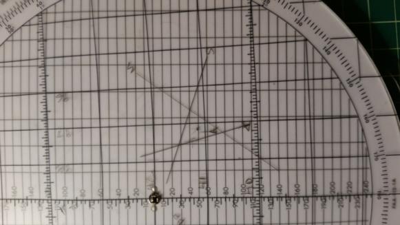
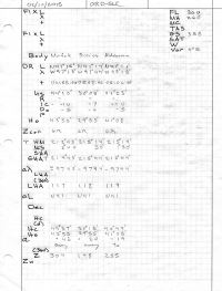
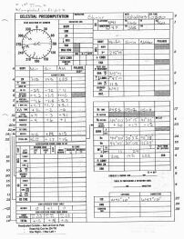
This night we departed ORD several hours late due to the big snow earlier in the day. Once on top, cruising at FL360, we had a smooth ride and a beautiful stary sky. My westbound markers of earlier winter and earlier evenings had mostly set, so out came the CPU-300/U, some LHAϒ calculations, and 249 V1. We decided on Aldebaran, Sirius, and Mirfak (first time using Mirfak; 25 on my list of celestial objects sighted for a fix) at a fix time of 0500. Got the Polhemus precomputation worksheet set up and started sights and 0457, finished at 0507. FO shot Mirfak and I shot Sirius and Aldebaran. About 25 minutes later I had my fix, not the fastest, but a first!
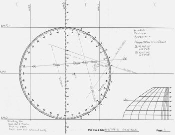
Sight reduction was done from the visual average of 2 minute sights. Altitudes of Mirfak and Aldebaran above 40° create greater refraction through the CRJ windows, as I'm working through my history I'm seeing the need for 15 or 20° more correction than the Std Dome, but I did not make any extra here. The cocked hat came out a bit wider with the refraction errors, but the CelNav fix is still only15-16 nm from our FMS location. I later ran a standard reduction on the sights and plotted lop's advanced/retired to 0500. The results: FMS - N41°14' W97°28' CPU- 41/P - N41°10' W97°10' Plotted - N41°10' W97°08'
Worksheets and plots attached, and as always, I look forward to your reviews. This will be the last for a bit as I'm transitioning over to the Embraer E175. Class starts in March and will be busy, and grounded, for a few months.
Tracy
