NavList:
A Community Devoted to the Preservation and Practice of Celestial Navigation and Other Methods of Traditional Wayfinding
Re: Flight Navigation
From: UNK
Date: 2007 Mar 12, 12:35 -0700
From: UNK
Date: 2007 Mar 12, 12:35 -0700
Gary LaPook wrote:

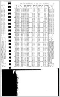
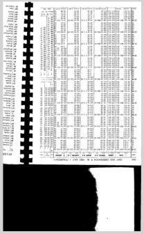
>I am attaching several excerpts from the Air Almanac and H.O 249 Volume 1
that can be used to see the differences in flight navigation practice
compared to surface navigation. From the Air Almanac is the daily page for
July 1, 1992, which is actually printed back to back on one page of the
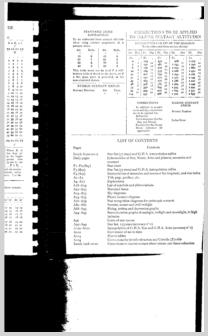
almanac. This shows the P in A  table for the moon which changes based on the
distance of the moon from the earth on a particular day. Also from the Air
almanac are the dip, refraction and coriolis correction tables.
>
>

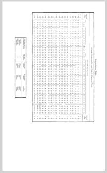
 From H.O. 249 is the page for zero latitude and LHA aries from 180 to
359º for epoch 1980.
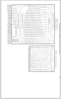
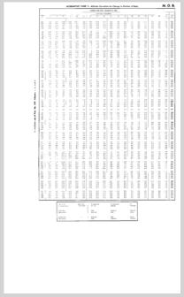
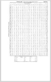
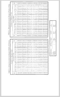
Also attached are the MOO and MOB tables for 4 and 1 minute periods and
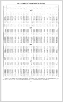
the interpolation table for same. The table for correction of precession
and nutation is also attached.

These provide you with all the information you need to work a three star
sight with an assumed latitude of zero, an LHA aries between 180 and
359º on July 1, 1992.


--~--~---------~--~----~------------~-------~--~----~
To post to this group, send email to NavList@navlist.net
To , send email to NavList-@navlist.net
-~----------~----~----~----~------~----~------~--~---
File: 102321.ho-249-0º.pdf
