NavList:
A Community Devoted to the Preservation and Practice of Celestial Navigation and Other Methods of Traditional Wayfinding
From: David C
Date: 2016 Aug 18, 15:47 -0700
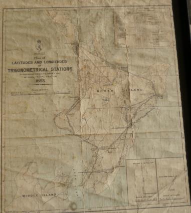
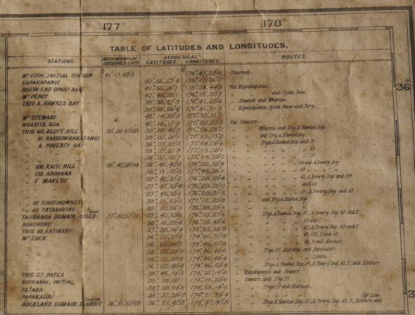
As I read this thread I realised that for many years a relevant map has been hanging on my study wall. The map (published in 1885) shows the results of a geodesical survey of the North Island of New Zealand. At five sites latitude was determined by astronomical means. At one of these sites - Mt cook Initial Station - the longitude was determined astronomically.
All other lat/long pairs were determined by spherical trigonometry.
NZ was connected to London by telegraph cable in 1876 but I have seen a comment that the telegraph cable was not used for time until about 1914. The comment lumped wireless and cable in one phrase so maybe 1914 was when wireless was first used? It is not a subject I have studied but maybe I should.
Note that the observed long is given to 0.1 of a second of arc. Norie's arc to time table tells me that 1 sec of arc is .07 sec of time so the surveyors were claiming that they could measure time with a resolution of 7ms. Could time be measured with this resolution in 1885? I have my doubts.
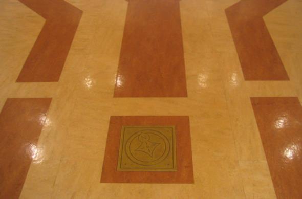
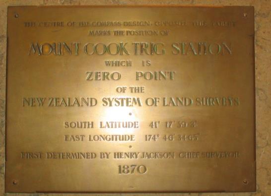
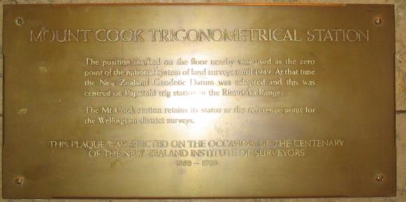
Note that Mt Cook Initial Station is not the 3764m peak in the South Island but rather an insignificant hill in Wellington whose only other claim to fame is that it was once the site of a jail.
I have also attached three photos I took about ten years ago at the site of the Mt Cook initial station.
