NavList:
A Community Devoted to the Preservation and Practice of Celestial Navigation and Other Methods of Traditional Wayfinding
From: Frank Reed
Date: 2023 Dec 11, 10:11 -0800
Huub Robroek, you wrote:
"By coincidence, some weeks ago I downloaded a similar chart from the NOAA (https://www.ncei.noaa.gov/products/world-magnetic-model), for epoch 2020. It's interesting to see the change in magnetic variation over a period of approx 10 years. I put both charts together in attached document. [...]Comparison-Magnetic-Variation-2011-2020-epoch.pdf "
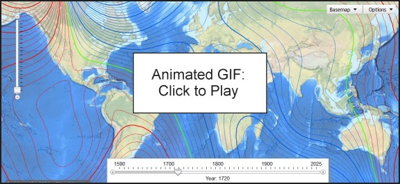
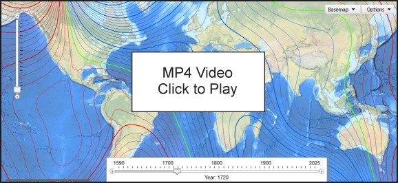
It's interesting to see how it changes, isn't it? Some years ago, I prepared an animation for NavList of historical changes in magnetic declination (that's "variation" to navigators) over the past four centuries. You can see that at clockwk.com/mag/. A similar animation has been available on Wikipedia for a few years. While the historical data built into the animations has not changed and is only approximate in the earliest period, there are updated animations available with recent data. I made one this morning. Here are two versions that you can download, one as an animated GIF and one as an MP4 video. My source is a slightly quirky animation tool from NOAA here: https://www.ncei.noaa.gov/maps/historical_declination/.
Frank Reed
Clockwork Mapping / ReedNavigation.com
Conanicut Island USA


