NavList:
A Community Devoted to the Preservation and Practice of Celestial Navigation and Other Methods of Traditional Wayfinding
Howgozit
From: Brian Walton
Date: 2015 May 2, 10:23 -0700
From: Brian Walton
Date: 2015 May 2, 10:23 -0700
On sea passage Punta Delgada - Lisbon this day.
Howgozit chart for Airbus 380 used to get Great Circle track and show progress.
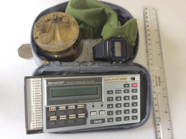
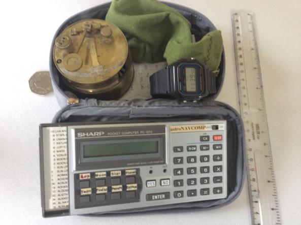
USNO data accessed via your page used to confirm time and reduction by conventional means. Basic equipment shown in images.
This chart a little small, but adequate for plotting on knees. Larger scale would be used for ETOPS twin engine flights using Azores and Bermuda or Iceland as diversions.
Brian Walton


