NavList:
A Community Devoted to the Preservation and Practice of Celestial Navigation and Other Methods of Traditional Wayfinding
From: David Pike
Date: 2023 Sep 21, 03:55 -0700
David McN
Firstly. Thanks for adding the McN, which I’ll always try to use. There’s nothing worse than a surfeit of Daves in a forum.
Secondly. I suppose we mustn’t dismiss Traverse Tables too easily, because for years they wouldn’t have formed the first section of most sets of navigational tables if they weren’t one of the offshore sailor’s most useful tools. Since your post, I’ve been trying to think of why anyone might wish to use traverse tables in reverse other than to satisfy the whim of a shore-based examiner or whilst trying to analyse the incomplete records of some ancient expedition. Normally a navigator would complete a watch with an average course made good from a recording board and a distance run from a log and would wish to change this into northings and eastings to plot or record a position in Lat & after allowing for convergence Long.
Other than the exceptions noted above, I can’t think of any reason why anyone would wish to use traverse tables to do the opposite. However, if you were given a set of northings and eastings and asked for a course and a distance to run, then as Frank says the easiest solution is by drawing.
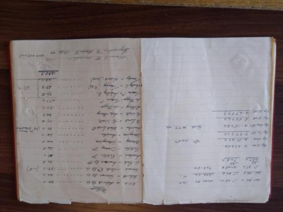
If you wish to fly or sail a moderate distance from one Lat & Long to another an air navigator, being always short of time, would simply draw a line on his or her chart and measure it. A marine navigator, being steeped in the traditions of the sea, would calculate a plane/plain sailing with their 5-figure log tables using 9s notation for numbers less than unity. I have only one of my dad’s calculations from the 1950s, and this appears to be before taking his iron ore carrier from a safe distance from Muckle Flugga Lighthouse to a safe distance from Traena Island lighthouse on the way to Narvik. It would appear to be a plane sailing calculation (correct me if I’m wrong), and I admire his mental capacity in not needing to pen in his carries and never needing to cross out (but I suppose if you’ve been practising it since you were so small they had to provide a soap-box for you to steer the ship .....). The similarity between dlon and dmp (=763) is just coincidence, because the desired course turned out to be 045. See Photograph. DaveP


