NavList:
A Community Devoted to the Preservation and Practice of Celestial Navigation and Other Methods of Traditional Wayfinding
Re: Landfall procedure
From: Gary LaPook
Date: 2015 Jan 31, 00:02 -0800
From: Gary LaPook <NoReply_LaPook@navlist.net>
To: garylapook@pacbell.net
Sent: Friday, January 30, 2015 11:36 PM
Subject: [NavList] Re: Landfall procedure
From: Samuel L <NoReply_SamuelL@navlist.net>
To: garylapook---.net
Sent: Friday, January 30, 2015 1:26 PM
Subject: [NavList] Landfall procedure
From: Gary LaPook
Date: 2015 Jan 31, 00:02 -0800
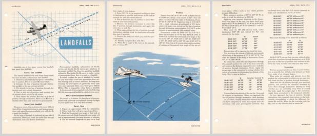
I have attached excerpts from Air Navigation, 1945 and from the Navigator's Information File, 1944, that shows how to graphically correct the Hc computed for an AP of whole degrees to the actual coordinates of the destination. The normal procedure was to compute at 20 minute intervals which allows you to use the same AP for all the computations since the LHA of the sun will change exactly 5 degrees in 20 minutes (with a possible very small difference if the equation of time is changing but not of significance with the level of precision available in flight navigation.) This is the method that Noonan would have used with his Hc's computed using HO 208 with an AP on 1° north latitude and 177° 02.5' W longitude and then adjusted graphically to
the location of Howland. At 1800 Z the GHA of the sun was 89° 02.5' and at 2000 Z it was 119° 02.2' a change from the standard one degree every four minutes of only 0.3' in a two hour period, which can be ignored when plotting the AP.See: https://sites.google.com/site/fredienoonan/resources/nautical-almanac-1937/almanac-1937-22.JPG-1?attredirects=0
This graphical correction method was particularly easy for Noonan since the azimuth wasn't changing so the correction factor stayed constant. If the azimuth changes significantly then you have to plot a new LOP through the AP and
remeasure the correction factor.
See:
gl
From: Gary LaPook <NoReply_LaPook@navlist.net>
To: garylapook@pacbell.net
Sent: Friday, January 30, 2015 11:36 PM
Subject: [NavList] Re: Landfall procedure
There is a way to work the computation from a DR position using HO 249 or HO 229. Those tables only have a correction for "delta d", the difference in the
declination from whole degrees. HO 214 also had corrections for "delta t" the difference of LHA from whole degrees and a table for a correction for "delta L" the difference in latitude from whole degrees. I posted how to do this before so see the links below. Since Noonan did not have HO 214 he used HO 208 which also requires an AP making whole degrees of latitude and of LHA. The way this is handled is graphically and I will expand on that in a subsequent post.
https://navlist.net/Why-no-interpolation-for-LatitudeLHA-sightreduction-tables-LaPook-jul-2008-g5707
https://navlist.net/Why-no-interpolation-for-LatitudeLHA-sightreduction-tables-LaPook-jul-2008-g5708
gl
From: Samuel L <NoReply_SamuelL@navlist.net>
To: garylapook---.net
Sent: Friday, January 30, 2015 1:26 PM
Subject: [NavList] Landfall procedure
Gary,
I've read the Landfall procedure you used in your flight to Catalina island. Also, I read the AFM Landfall procedure portions you have on your website.
In general it seems pretty simple but I have a question for you which probably applies to how Noonan would have used the Landfall procedure to find Howland.
How did you determine the Hc of the shots based on your destination's location considering HO 249 is based on whole degree of
Latitude and LHA?
You can obtain such accuracy using a calculator but not with HO 249.
I think we'd all enjoy hearing more your flight stories.
Thanks,
Sam Lohengrin


