NavList:
A Community Devoted to the Preservation and Practice of Celestial Navigation and Other Methods of Traditional Wayfinding
From: Frank Reed
Date: 2020 Aug 24, 19:13 -0700
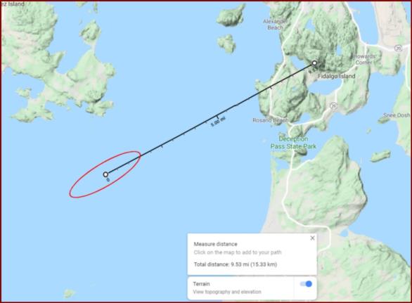
There are interesting details in this puzzle that still don't add up for me. I'm convinced Greg's estimare for the position is about right. And we know the date is correct from the Moon and Venus, and we know the time within a relatively small margin of error. One key issue that was bugging me today was the identification of the mountain on the left. I'm now certain it's Mount Baker which I estimate is about 46 nautical miles to the northeast of the photographer's (and the boat's) position. The Wikipedia article says it's snowy up there, and a ski area on the mountain recorded 95 feet of snowfall in a single season in 1999. Also noted, the mountain's common modern name derives from Joseph Baker who was one of George Vancouver's surveyor/cartographers aboard HMS Discovery.
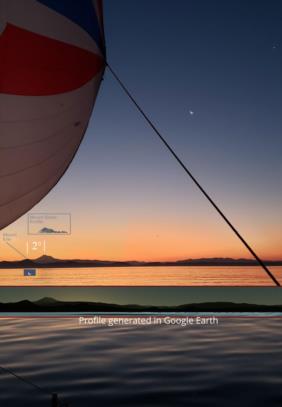
In the image below, I have marked up the original with a small silhouette (to scale) of Mount Baker and also a profile of the entire land horizon generated directly in Google Earth from about the right location. It's a very close match for the land profile, but I'm sure with a little work the position could be locked down even better.
Frank Reed


