Welcome to the NavList Message Boards.

NavList:

A Community Devoted to the Preservation and Practice of Celestial Navigation and Other Methods of Traditional Wayfinding

Compose Your Message

Message:αβγ
Message:abc
Add Images & Files
    Name or NavList Code:
    Email:
       
    Reply
    Re: Latitude 48 Article Image as CN Piloting Exercise
    From: Greg Rudzinski
    Date: 2020 Aug 23, 13:30 -0700

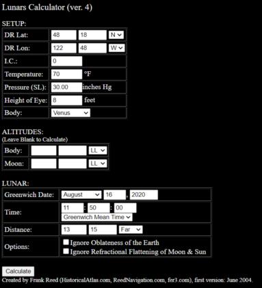
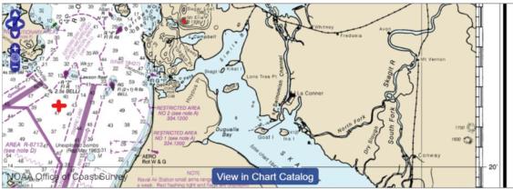
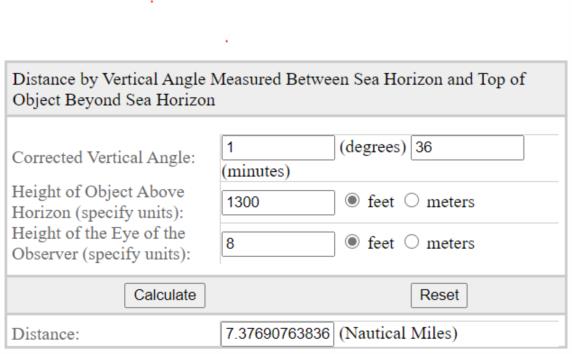
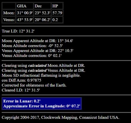
    Frank's lunar calculator has the observed venus moon distance at 13° 15' for UT 12:15:00 civil twilight on 16 August 2020. This is a better yard stick reference for determining the bearing to Mt. Erie  (59°) and for determinig the vertical angle of Mt. Erie (1°36'). The improved calculated range is 7.4 NM bearing 59° true.

    Greg Rudzinski
    File:


    File:


    File:


    File:


    Reply
    Browse Files

    Drop Files

    NavList

    What is NavList?

    Get a NavList ID Code

    Name:
    (please, no nicknames or handles)
    Email:
    Do you want to receive all group messages by email?
    Yes No

    A NavList ID Code guarantees your identity in NavList posts and allows faster posting of messages.

    Retrieve a NavList ID Code

    Enter the email address associated with your NavList messages. Your NavList code will be emailed to you immediately.
    Email:

    Email Settings

    NavList ID Code:

    Custom Index

    Subject:
    Author:
    Start date: (yyyymm dd)
    End date: (yyyymm dd)

    Visit this site
    Visit this site
    Visit this site
    Visit this site
    Visit this site
    Visit this site