NavList:
A Community Devoted to the Preservation and Practice of Celestial Navigation and Other Methods of Traditional Wayfinding



From: Frank Reed
Date: 2026 Aug 5, 08:24 -0700
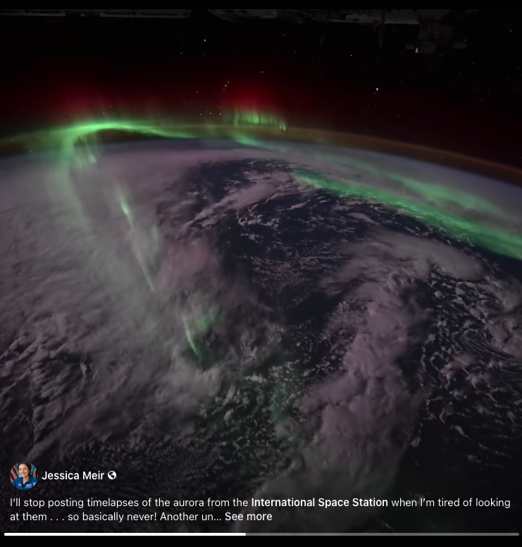
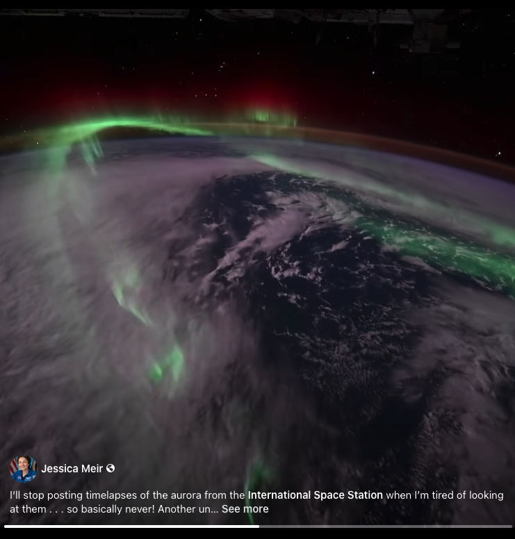
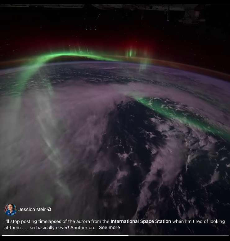
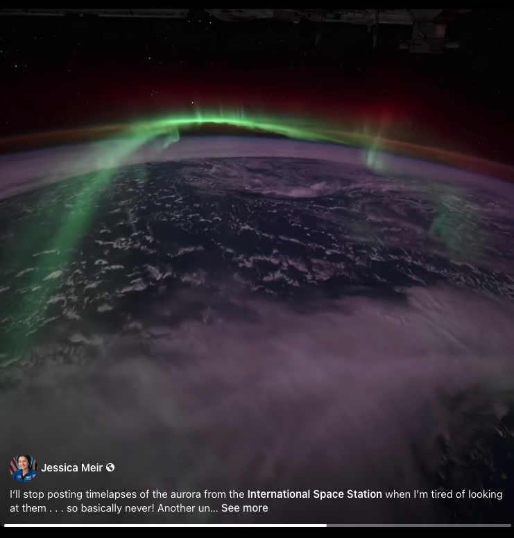
Here are a few frames from a video of the aurora posted by the current commander of the International Space Station, NASA astronaut Jessica Meir. You can see Orion's Belt plainly in each of the images. How many stars from the traditional Nautical Almanac list of 57+1 can you identify in these frames? And now a navigation puzzle: what is the latitude of the space station (the latitude on the ground directly below it)? You may want consider dip since it is rather large at 250 miles (*).
Jessica Meir and astronaut friends just flew over my house about ten minutes ago on their way to her hometown. Meir is from the border. She grew up in Caribou Maine, which is way "up there" or way "down east" as they say, sbout as close to Canada as you can get. Meir also got here BA (first of many degrees) at Brown University, here in Rhode Island.
Frank Reed
Clockwork Mapping / ReedNavigation.com
Conanicut Island USA
* As you go higher and higher, dip "becomes" semi-diameter. Or really the complement of SD: dip = 90° - SD. At a certain point above the Earth, chosen subjectively, we stop seeing the Earth's horizon as depressed downward from a true horizon (a great circle) and instead see the Earth as an object "over there" in the black sky --an object with a "small circle" and a size. But it always adds up: SD+dip=90° --where the SD here is the SD of the Earth.