Welcome to the NavList Message Boards.

NavList:

A Community Devoted to the Preservation and Practice of Celestial Navigation and Other Methods of Traditional Wayfinding

Compose Your Message

Message:αβγ
Message:abc
Add Images & Files
    Name or NavList Code:
    Email:
       
    Reply
    Re: Latitude and longitude by birdfoot
    From: David Pike
    Date: 2021 Dec 23, 12:54 -0800

    Robin

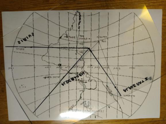
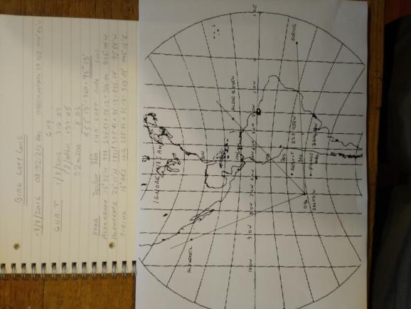
    Just to satisfy myself, I pinched the gnomonic from Wikipedia* and relabelled it from 050W, so ignore the background.  Then I plotted the position of Alpheratz, Aldebaran, Sirius, and the observatory before trying the acetate.  It gave the position of the owl as 22S 058W, so correct continent, but not much better than that.  You'd think after all this I'd spell Aldebaran correctly every time. DaveP

    *  John P. Snyder - Snyder, John P. (1987) Map Projections – A Working Manual. U.S. Geological Survey Professional Paper 1395, United States Government Printing Office, Washington D.C., pp. 164−168
    File:


    File:


    Reply
    Browse Files

    Drop Files

    NavList

    What is NavList?

    Get a NavList ID Code

    Name:
    (please, no nicknames or handles)
    Email:
    Do you want to receive all group messages by email?
    Yes No

    A NavList ID Code guarantees your identity in NavList posts and allows faster posting of messages.

    Retrieve a NavList ID Code

    Enter the email address associated with your NavList messages. Your NavList code will be emailed to you immediately.
    Email:

    Email Settings

    NavList ID Code:

    Custom Index

    Subject:
    Author:
    Start date: (yyyymm dd)
    End date: (yyyymm dd)

    Visit this site
    Visit this site
    Visit this site
    Visit this site
    Visit this site
    Visit this site