NavList:
A Community Devoted to the Preservation and Practice of Celestial Navigation and Other Methods of Traditional Wayfinding
From: David Pike
Date: 2020 Oct 31, 05:44 -0700
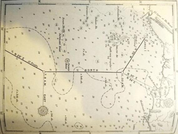
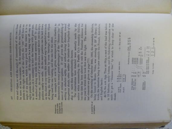
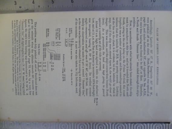
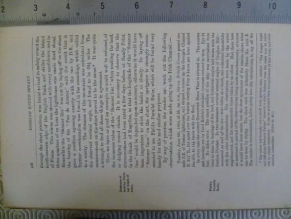
My Father navigated the River Plate to Buenos Aries and Montevideo regularly in the Urmston Grange in the 1950s. It can be a tricky area as indicated by the tragedy which befell Captain Boothby and all in the Royston Grange further upriver in 1972. My father also owned the 1917 edition of Lecky, which repeats this Sumner exercise using slightly more modern language. I’m showing the relevant pages below for those who might wish to go through them. As the Sun was due east about the time he needed to sail north, he used a Sumner line to ensure he was east of the French and English Banks. At 11:00 the Sun was again abeam the intended new course of N 56 E. He was able to cross that Sun line with a bearing from Pan de Azucar and to double check distance-off with a vertical sextant angle from the same place.
He obviously had great confidence in his chronometer, to turn onto north when he did, but note how he uses every source of information available to him as a double check, particularly his lead line loaded with tallow. DaveP


