NavList:
A Community Devoted to the Preservation and Practice of Celestial Navigation and Other Methods of Traditional Wayfinding
From: Frank Reed
Date: 2021 Jun 27, 16:45 -0700
Russ:
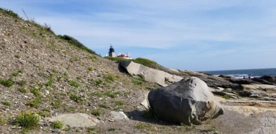
On Robin Stuart's suggestion, I hitched a ride and went down to Beavertail Point this afternoon. Nice day for it. I locked down the exact location for the foreground image within a meter or so and have even convinced myself that the foreground image must have been taken within the past couple of weeks since the plants that are visible are almost perfect matches for my photos.
The location: 41.450756, -71.400052. My azimuth estimate was off. The center of the foreground image is around azimuth 162° (true). That makes the stars even more "wrong".
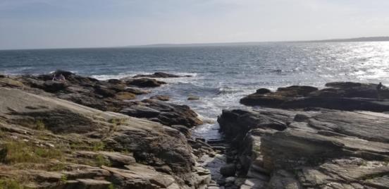
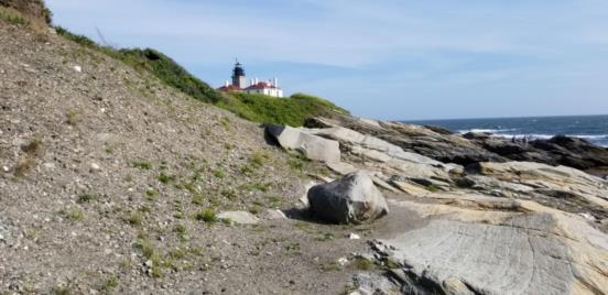
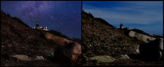
The first photo below shows the view looking west from this location. I'm including it just because it was a pretty day. The next image is a wider context looking towards the lighthouse and the rocks that are seen in the original image. Next up I have moved to a spot that matched as best I could remember what was in the original image. And the final image is my attempt at a "day for night" from my photo this afternoon compared with the the foreground portion of the original. They're similar. I cheated in one way: I turned on the lighthouse beacon by copying and pasting from the original --just to get it done without wasting too much more time on this!
Frank Reed


