
NavList:
A Community Devoted to the Preservation and Practice of Celestial Navigation and Other Methods of Traditional Wayfinding


From: Matus Tejiscak
Date: 2025 Mar 8, 02:51 -0800
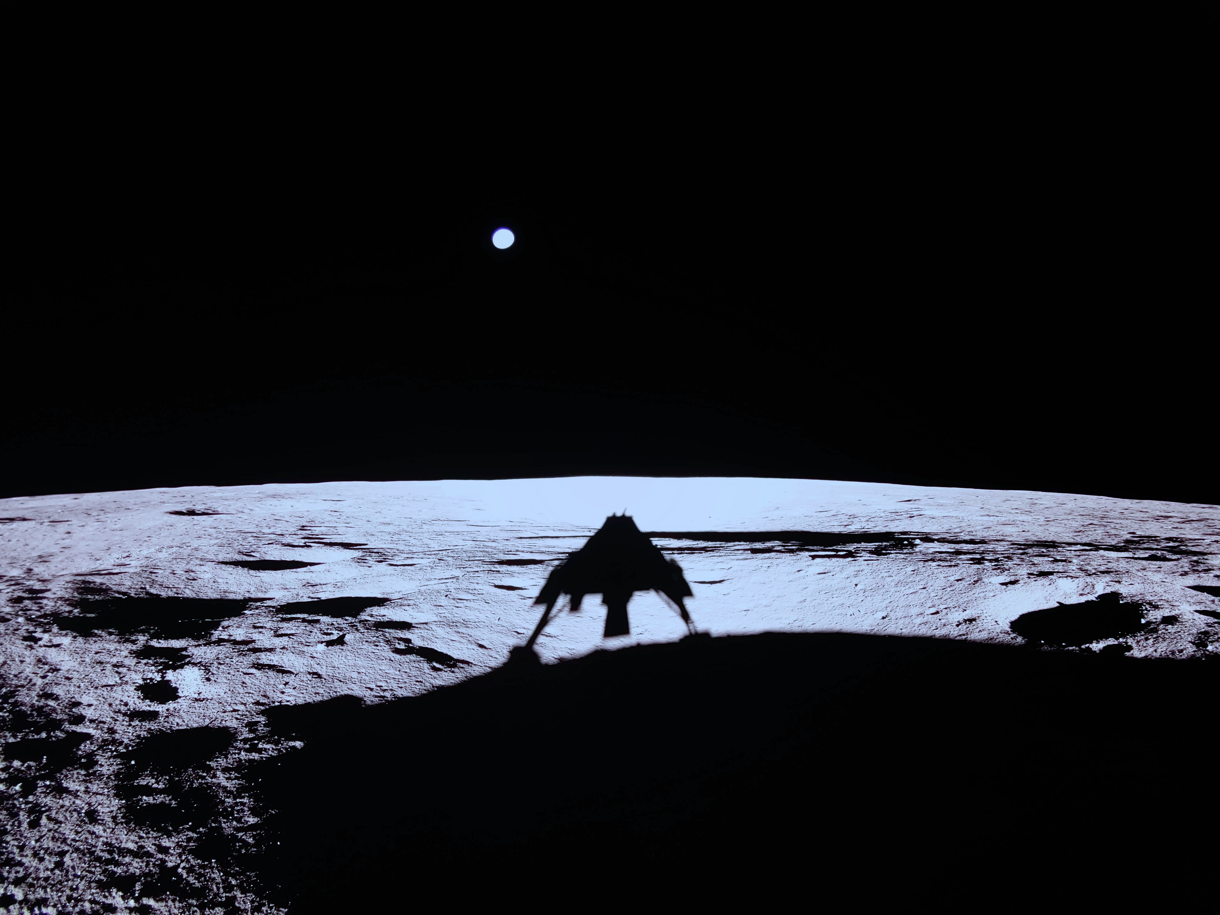
One way to get a rough estimate is from the spacecraft's declared width (3.5m) and the angular distance of its shadow's legs.
I used the Earth as the angular yardstick. I took double the HP value from the almanac (see, navigation!) as the angular diameter of the Earth. In the full-resolution image, the estimated 75px diameter of the Earth and HP = 60.5' yields about 1.61'/px. Assuming that the legs of the shadow are 3.5m apart at an unknown distance, their angular separation of some 626px tells us that the shadow is about 12 metres away.
I get pretty much the same answer using a (very) slightly less naïve calculation that works with a rectilinear projection rather than a constant scale of degrees per pixel across the entire image.
There are a lot of factors that make this no more than a rough estimate: the significant lens distortion, the unevenness of the terrain on which the shadow is projected, and the uncertainty in the true distance of the legs, to name a couple.


