NavList:
A Community Devoted to the Preservation and Practice of Celestial Navigation and Other Methods of Traditional Wayfinding
From: Don Seltzer
Date: 2022 Apr 18, 07:45 -0400
I wrote earlier:
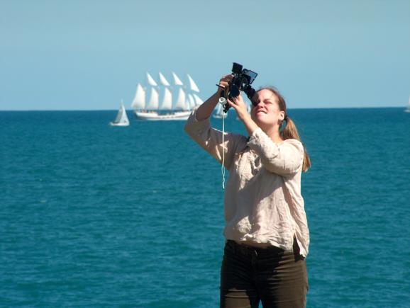
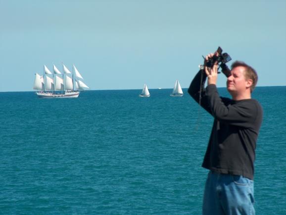
"I'll make a little puzzle of this in a follow-up post since I can tell you exactly what we were shooting and what the numbers were."Follow-up as promised: the young woman, Heather, in the NavList banner image is shooting a lunar. I was also shooting, alternating with her. The Moon was close to due west. The Sun a little west of due south. This was almost nineteen years ago on 20 sep 2003 between 1800 and 1900 UT. The sextant was a nice C.Plath instrument (borrowed), and its index correction was -0.5'. The measured raw lunar distance was 67°47.3' limb to limb (Sun-Moon lunars are always "Near Limb"). The raw altitude of the Moon UL was 24°46'. That of the Sun LL, 47°16'. These altitudes were measured with "plastic sextant" accuracy, so give or take 5 minutes of arc, and with height of eye effectively zero. The Local Apparent Time was 00:51:30 after local noon, or as usually written 12:51:30 pm L.App.T.
Where were we? When were we? What are the error bars?
Frank Reed
PS: Of note, 20 sep 2003 was three months before I started interacting with the NavList community, which back then was a traditional email "list", hence the 'List' in 'NavList'.


