NavList:
A Community Devoted to the Preservation and Practice of Celestial Navigation and Other Methods of Traditional Wayfinding
From: Frank Reed
Date: 2023 Mar 25, 07:34 -0700
Antoine, regarding Ed Popko's comment, you wrote:
"No time to accurately check, but the USNO Web app clone results do make sense to me."
Of course, and of course the numbers in my clone of the USNO tool are accurate [other details in my prior post]. It is, after all, the same engine that has been running my online lunar distances and my online lunars clearing tools for very nearly twenty years (since 2004 —yikes, that's far too long). But the point here is that the "web app clone" was a minor side project, easily implemented in just a few hours in early September of 2020 using the standing tools that I had available. Fundamentally it was not a new app. Its behind-the-scenes calculations have been tested by decades of hard use by myself and other celestial navigation enthusiasts.
You added:
"PS : 2 years ago or so, I found something strange for the Moon here. I will retrieve it and check it again shorly."
Yes, don't worry, I do remember your concerns. Please bear in mind that I only included the altitude corrections –which were always rather bizarre in the USNO original app– for "completeness". I never used those numbers for anything myself, and I don't consider them an appropriate component in the tool. For the Moon, the numbers are certainly problematic. We don't know what they were trying to achieve with these numbers originally, and I'm not sure that the new design of the "official" USNO AA tool matches the original design anyway. You were worried about some perceived flaw in a minor detail, but I'm more inclined to ditch those columns entirely for all objects. That is, if I move the clone away from the USNO original, then I'm more inclined to ditch those columns.
The altitude correction data in the USNO app are flawed on many grounds, especially for the Moon. Why especially the Moon? Because they are exclusively LL (Lower Limb) corrections (and yes, I copied that in the clone ...because it was a "clone", not as an endorsement). There isn't even an option to calculate data for a UL Moon sight, despite the fact that Upper Limb sights are required for the Moon — half of all Moon sights will necessarily be UL sights. And then of course there's the original problem: do these altitude corrections represent corrections to be applied to observed raw sights to compare with the Hc values to the left? Or do they represent corrections to adjust the Hc sights and create hypothetical raw sextant sights? Both would be useful options. It's not clear that the original tool was consistent on this question.
I mentioned in an earlier post that the USNO AA team have updated the styling of the output from their web app. It now produces a table format with alternating highlight bands. This is a more modern style in the sense that 2005 comes after 1995. In addition the stars are now listed by "star number" order (nearly the same as SHA order) instead of alphabetically. Is there any value to that? And why is that a fixed choice rather than a user-selectable option? Also the stars are no longer color-coded to indicate which ones are listed in Pub.249 v.1. They're now using upper case format for those stars, similar to the star list in Pub.249 itself. But is there benefit in this? Meanwhile, as you can see below, the explanation for the web app still describes the older formatting style based on colors (which means that the "official" description and explanation for the "official" USNO web app [captured today, 25 March 2023] no longer explains the "official" app but it does correctly describe my "clone" app...).
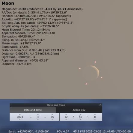
You'll note that the scenario I have chosen for the sample screen captures here is a case where the Moon is very low in the sky, which highlights your concerns from last year. And you'll discover another quirk in the current USNO web app altitude corrections if you check the sky two minutes earlier at 12:44 UT. The corrections are replaced by dashes in their web tool, as if the corrections no longer have any meaning, but the Moon is certainly in the sky from that location at 12:44. What's going on here?
Frank Reed


