NavList:
A Community Devoted to the Preservation and Practice of Celestial Navigation and Other Methods of Traditional Wayfinding
From: David Pike
Date: 2022 Mar 8, 06:24 -0800
Tony Oz you wrote: I think counting paces (measuring shadow's length) only make sense if: you are on perfectly horizontal surface going to measure the object's height OR you perfectly know the height of the object and want to measure the surface's inclination. Otherwise it is just a nice walk in a countryside.
Tony
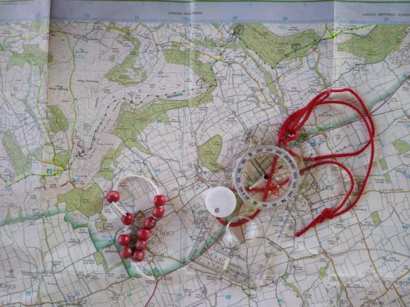
You’d be surprised. Pacing is an innate skill from pre smartphone days, but you need to work at it. Everyone’s paces (i.e. every time your right foot goes forward)/100m are different and your paces/100m will change with the gradient and the type of surface from the 50s downhill to over 100 scrambling uphill. You need to take every opportunity to check until you’ve calibrated yourself. Start on known lengths of flat good surface to get a basic figure; mine’s 66/100m. then see how it differs for different gradients and surfaces. Once it’s ingrained you just need to keep in practice. At the start of each section of every walk, judge the distance to the next recognisable point, another developable skill aided by the fact that a 1km grid is printed on UK 25k, and 50k OS Maps. Then asses the surface visually and decide how many paces it will be. Count the paces as you go and see how successful you were. On a good day, when I’m in practice, over 300m or so I often manage to arrive within 10 paces of prediction, which is valuable when micro-navigating at night or in mist. The main problem is remembering how many 0.1kms you’ve paced. You can use beads on a string or a clicker on your compass, but these days I just use my fingers. Your feet will remind you how many kms you’ve walked. DaveP


