NavList:
A Community Devoted to the Preservation and Practice of Celestial Navigation and Other Methods of Traditional Wayfinding
From: Bill Ritchie
Date: 2022 Mar 7, 12:44 +0000
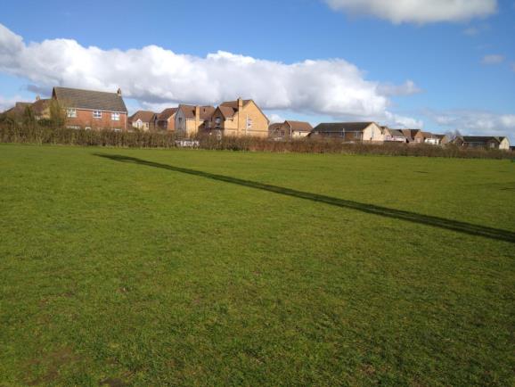
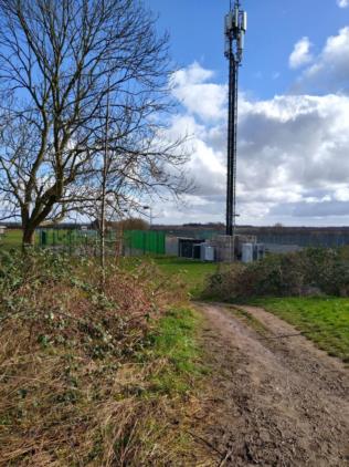
While we're talking about using tangents to find height, I came across something I couldn’t ignore this morning. I’d just walked through the former cemetery of a former Victorian asylum while planning a 3M circular walk from one of three pubs very close together. The Sun came out and in front of me was the most amazingly sharp shadow of a communications aerial. It was 11.28UT today 6th March and Frank’s GPS Anti-Spoof predicted the Sun’s centre should be at an altitude (i.e. Ho) of 30 27’. I paced the length of the shadow, and it was 34 paces. On flat ground I walk at 66 paces per 100M.
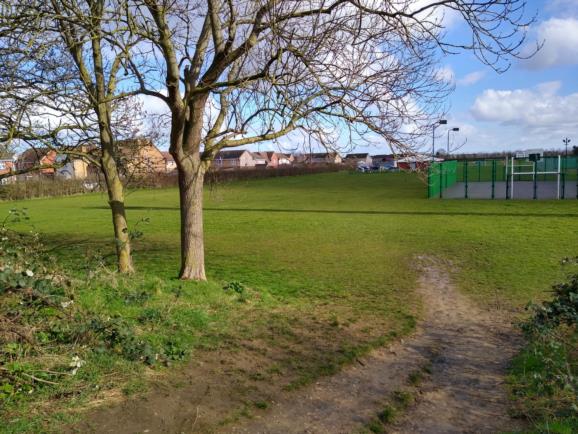
Q1. How high is the aerial?Q2. Where was I.? Notes: The LOP passes within 1nm of my position. The aerial must be new; it doesn’t appear on current Google imagery, but the tennis court does. The asylum closed many years ago and the grounds now form a housing estate, which they began building about 20 years ago, but construction is still going on. The cemetery headstones have been removed, but on max magnification of Google imagery you can persuade yourself that you can still see the shapes of the rows of 2000+ graves very close together from the shades of the grass colour. If you like cryptic crosswords, the answer is in the title of this post. DaveP


