NavList:
A Community Devoted to the Preservation and Practice of Celestial Navigation and Other Methods of Traditional Wayfinding
From: Gary LaPook
Date: 2012 Dec 7, 03:24 -0800
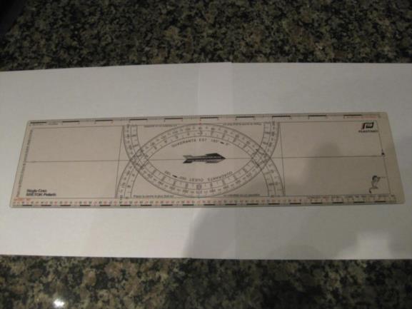
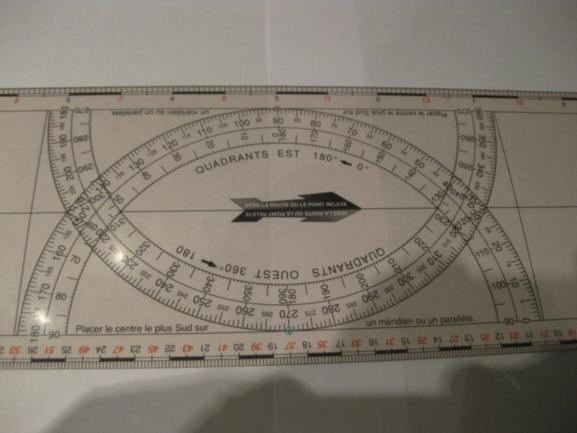
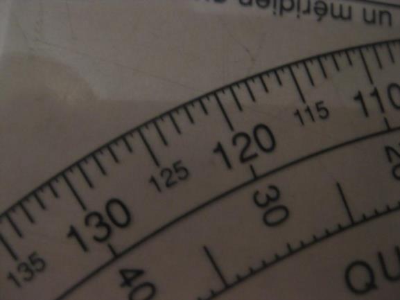
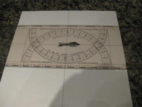
We are used to seeing a graticle of latitude and longitude lines on our charts so we try to recreate the same graticle on our plotting sheets but this is not necessary. The graticle is there to aid in locating positions on the chart and we can accomplish the same thing with less work and less wear an tear on the paper. I will show how to do this using a Règle-Cras type of aircraft plotter but any type of aircraft plotter can be used. The Règle-Cras is marked ever half degree and has a 1: 1,000,000 scale as well as 1cm = 1 km scale. I will use the 1: 1,000,000 which is marked in red.
Images 83, 85 & 89.
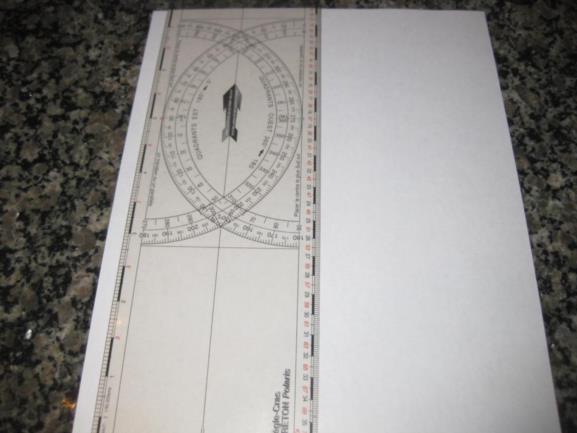
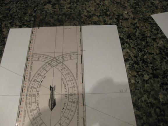
First draw a vertical line in the center of the paper and then mark a horizontal line by use of the plotter.
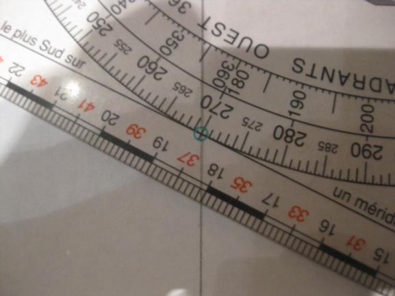
Images 9290 & 92.
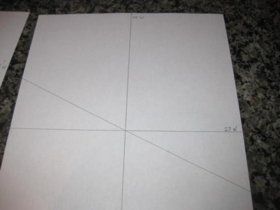
Next, as in the method normally used for constructing the longitude scale on a plotting sheet, we draw a line shifted from the horizontal by the number of the central parallel latitude, in this case, 27 degrees. But, in contrast to the normal construction, we do not have to mark the longitude scale. Mark the central meridian and parallel, e.g. 27 N & 119 W. The plotting sheet is now complete.
Images 94, 95 & 97.
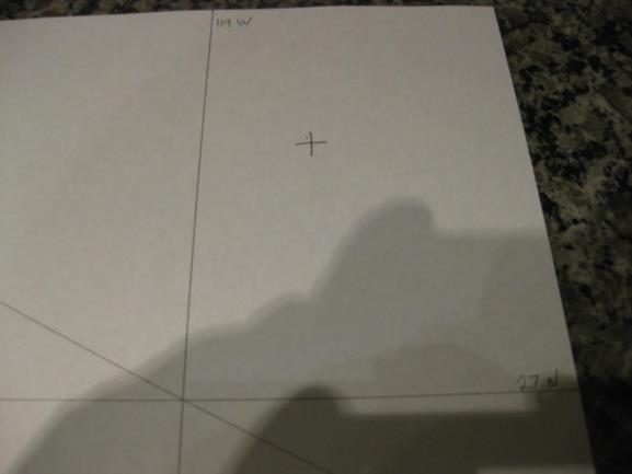
To illustrate how to use this version of a plotting sheet I will show several normal problems. The first on is to determine the coordinates of an unknown point that I have marked, image 99.
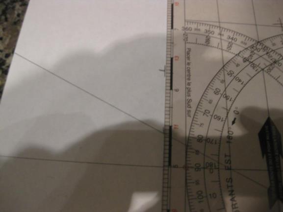
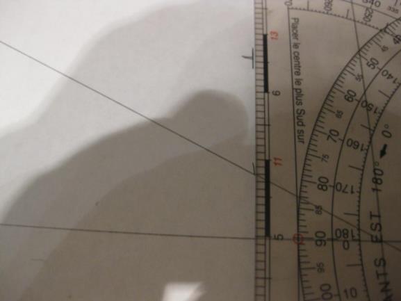
Lay the plotter vertically with the edge on the unknown point and make a tic mark where the strait edge crosses the slanted, longitude scale line, image 9300.
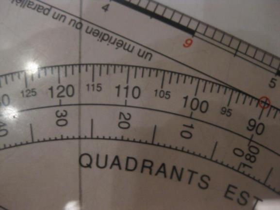
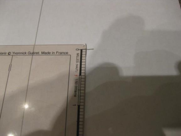
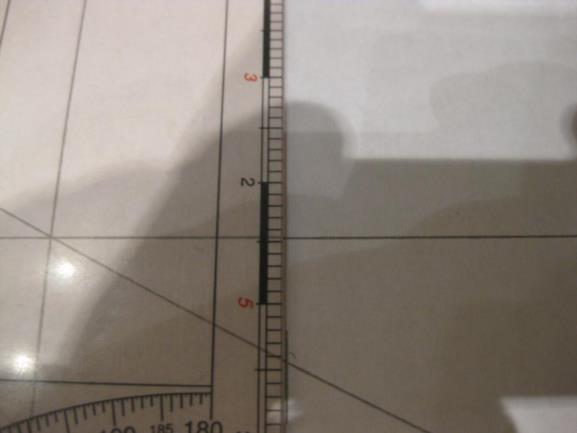
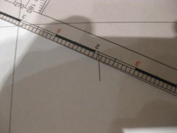
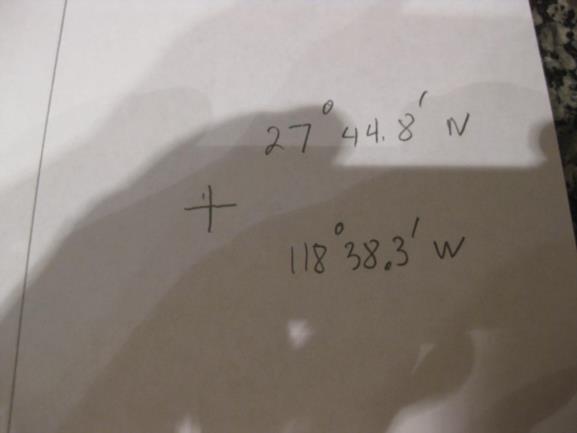
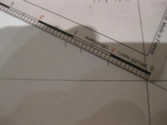
Line up the "0"mark on the scale with the unknown point and read out the minutes of latitude from the scale where it crosses the central parallel, 44.8'. (Remember we are using the red scale, the black "2"is really a "4"on the red scale.) Images 01 & 02.
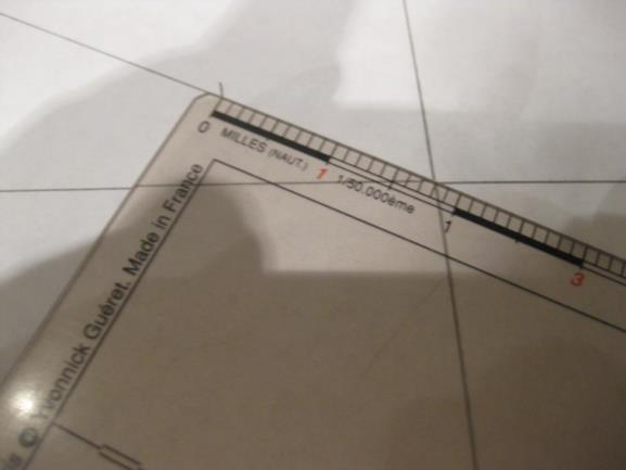
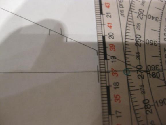
Now place the plotter upside down (in western longitudes, right side up in eastern longitudes) along the slanted line with the "6"(actually the "three") aligned with the central meridian and read out the minutes of longitude, 38.3', images 03 & 94.
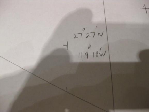
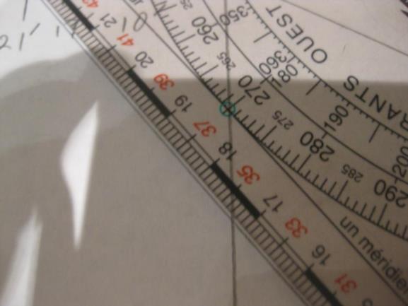
The next problem is to plot a point with known coordinates, e.g. 27° 27'N, 119° 18' W. Place the plotter along the slanted line and place a tic mark at "18" to mark the longitude. Next place the edge of the plotter through the tic mark and measure up 27 units from the central parallel and you have plotted the point, images 5,6,7 & 9.
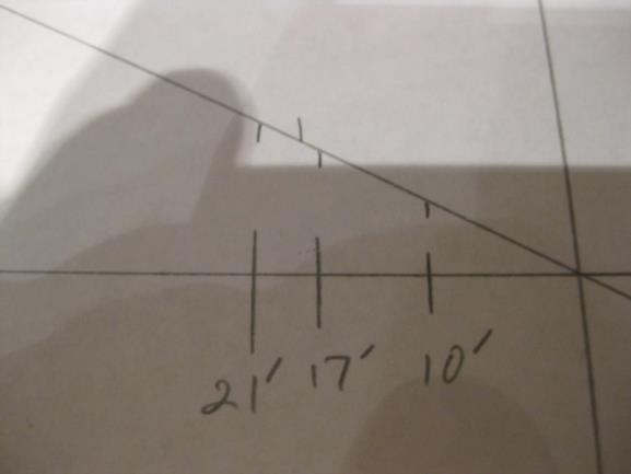
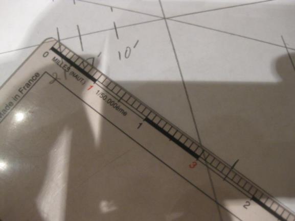
Next problem, plot three APs, 27° N, and 119° 10', 17' & 21' W. Place the plotter along the slanted line and put tic marks at 10, 17 and 21. Next put the edge vertically through each tic mark and mark the APs along the 27° N parallel, images 10, 11 & 12.
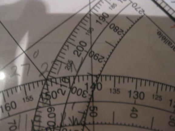
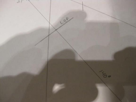
Last problem, plot an LOP from AP 27° N, 119° 21' W, Zn = 140° , A = 35 NM, images 13, 14, 15 & 16.
So, give it a try.
Yous aussi, Kermit.
gl
gl
----------------------------------------------------------------
NavList message boards and member settings: www.fer3.com/NavList
Members may optionally receive posts by email.
To cancel email delivery, send a message to NoMail[at]fer3.com
----------------------------------------------------------------
