NavList:
A Community Devoted to the Preservation and Practice of Celestial Navigation and Other Methods of Traditional Wayfinding
From: Tom Sult
Date: 2015 Oct 22, 18:26 -0500
Lu you wrote:
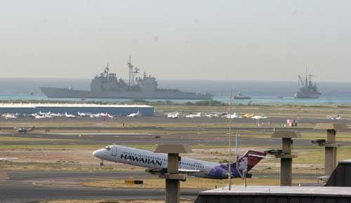
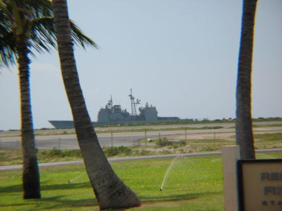
"US submarines stay underwater (and therefore out of GPS's reach) for long periods of time and it's claimed that their INS's are amazingly accurate."Well, maybe not "amazingly" but accurate enough! There was a story that emerged following the grounding of the AEGIS cruiser USS Port Royal on the reef just south of the international airport off Oahu, Hawaii. Remember this one?

According to the story, the cruiser's navigation system has an option to use the inertial system in priority over the GPS fix. This setting was accidentally activated. Human error is the greatest concern in navigation. Unfortunately, so the story goes, the INS had not been reset in several days, and the fix had drifted by a good fraction of a nautical mile. So they drove her up onto the reef. Of course, the most trivial piloting procedures looking at buoys and lights at the airport would have detected this large error in navigation. They better teach that at Annapolis, too!
And Lu, you asked:
"As a total aside, I have a colleague who claims his new iPhone displays Glonass location data as well as GPS data. I asked him about how to get the display and he says "my phone just came that way" Does anyone have insight into this?"Sure. I've mentioned this before. My ancient smartphone, which I acquired in September, 2012 automatically includes Glonass satellites in its fixes. They are given lower priority than GPS satellites, but they theoretically allow a position fix in the event of a system-wide GPS failure. This is not normally a selectable feature, and I believe that this is all done at the chip level. It's baked in.
Frank Reed
Currently located in the Airborne Command Center of NavList Operations ten nautical miles above the middle of Narragansett Bay...


