NavList:
A Community Devoted to the Preservation and Practice of Celestial Navigation and Other Methods of Traditional Wayfinding
From: David Pike
Date: 2020 Jan 17, 06:01 -0800
Bob Crawley you wrote: Hope that's not off topic but how else am I supposed to plot sights from bubble sextant?
Bob
Best bet is to use one of Frank’s Universal Plotting Charts. If you wanted a lat & long grid, you could draw your own. Below is a soft copy of one I put together for use at an event with the Astrovan a while ago. Post the lat & long of the area you wish to observe from, and I’ll modify it for you. That’s if I can remember which highly suspect method I used to produce it. Top tip, the smaller the scale, the tighter your fixes will appear.
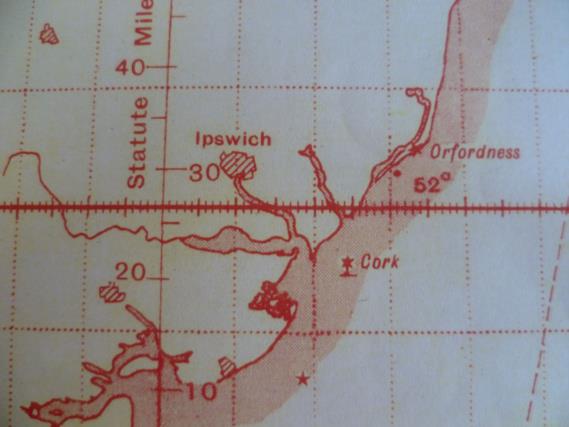
If you really want to get into the bubble sextant mood, you could print off some copies of the appropriate, section of Plt Off Pybus 463 Sqn’s second op to le Havre on 11th Sep 44, which I've posted below. N.B. The scale up some meridians is in Statute Miles. Bomber Command didn't change from MPH to Kts until 1st April 1945.
Alternatively, if you just want a chart of the Deben, I’ve attached printable snaps of a couple from the 1980s. DaveP


