NavList:
A Community Devoted to the Preservation and Practice of Celestial Navigation and Other Methods of Traditional Wayfinding
From: Gary LaPook
Date: 2015 Sep 8, 11:42 -0700
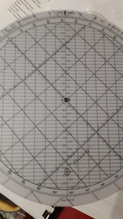
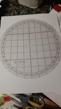
Or, you can simply put a dot on your Polhemus computer. Subtract the SHA of Polaris, 317° 05' now from 360° which is 42° 55'. Set any of the Polhemus plotting disks on the base, dial in 43° (that's close enough) and place a dot at the polar distance of Polaris, 40.3' times 5 = 201.5 down from the center (this makes the scale larger.) Then to find the "Q" correction just dial in GHA Aries and read out from under the dot, if it is below center then the correction is minus WHEN APPLIED TO HS Divide by 5 or, much easier to do, multiply by 2 and then divide by 10, (just move the decimal point.) . If you use the flight navigation technique of applying your corrections to Hc then reverse the sign or simply plot the dot on the oppositie side of the disk, diametrically accross the from the first illustration.
You can do the same diagram on an E-6B but the scale is much smaller.
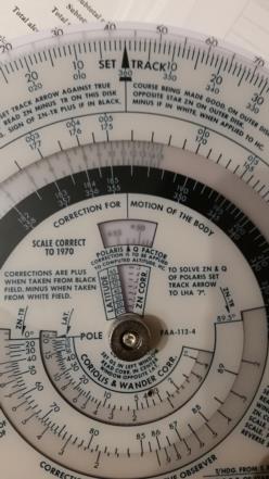
The Polhemus has an auxilary scale for the "Q" correction on the front of the computer but it was correct for 1970 and so is not accurate for today since the coordinates of Polaris have changed.
See attached photos.
gl


