NavList:
A Community Devoted to the Preservation and Practice of Celestial Navigation and Other Methods of Traditional Wayfinding
From: Frank Reed
Date: 2014 Jan 11, 10:53 -0800
Greg Rudzinski, you wrote:
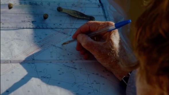
"Using a Bic pen for the plot will have a width of 20 NM on a pilot chart. No need to be too precise with the reduction then. Just round to the nearest minute on both the watch and sextant. No need to get fancy with the Nautical Almanac daily pages when determining declination for an LAN (nearest hour is good enough). Forget using the lower limb or even correcting for refraction and dip. Our man should be able to handle it ;-)"
And that's true.
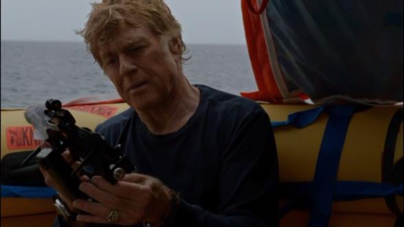
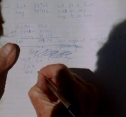
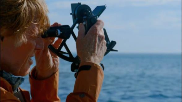
Here are a few more captures that I didn't upload last night. We see him taking the sextant out of the box and examining it upside-down. There are some calculations, obviously not intended to be realistic, but it's nice that there is a scribbled-out section. That at least is realistic! And we see the plotting work that Greg mentioned. If you want to give the movie the benefit of the doubt, those could all be noon latitudes (easy at this scale, as Greg says) with guesses for longitude. By the way, someone, I think it was Norm, mentioned that "our man" did, in fact, record the time with his sights. I didn't see this, but he did look at his watch before shooting a sight. That would be consistent with getting ready for a noon sun sight. Also, you'll notice parallel ruler(s) resting on the chart. He doesn't do anything sensible with these. They're a prop for the scene.
-FER
----------------------------------------------------------------
NavList message boards and member settings: www.fer3.com/NavList
Members may optionally receive posts by email.
To cancel email delivery, send a message to NoMail[at]fer3.com
----------------------------------------------------------------


