NavList:
A Community Devoted to the Preservation and Practice of Celestial Navigation and Other Methods of Traditional Wayfinding
From: Frank Reed
Date: 2023 Oct 7, 07:02 -0700
Daid Pike, you wrote:
"We’re certain the Sun and the Moon are near enough to perfect spheres. Wouldn’t your suggestion mean they should start to look thinner and thinner as their altitude increases?"
No, and I agree that it's easy to get a bit confused by this step in calculations. As I mentioned in my earlier post, I find that it's a good idea to "ground yourself" (rather literally) by starting with a ground-based geographic scenario, and then we can transfer that to a variety of celestial coordinate cases. The idea here is to do a terrestrial latitude and longitude example that can be mapped onto any coordinate transformation that has a "latitude-like" and a "longitude-like" pair of coordinates.
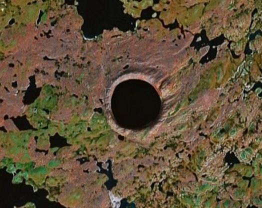
Ground-based scenario: Suppose I am near latitude 60° N over northern Quebec, and I look out my aircraft window and see a nearly perfect circle laid out on the ground (maybe a circular lake). I plot a series of points on a small-scale chart of the region to represent the circular rim of this lake. I read off the latitudes and longitudes of those points. I might find that the separation between east-west points is 220 seconds of arc of longitude while the separation between the north-south points are half as much, 110 seconds of arc of latitude. By the numbers, the "circle" seems to be an ellipse, twice as wide in longitude as it is in latitude. Of course that's a coordinate illusion...
How do we know it's a coordinate illusion? Because we looked down on it from our aircraft, and, despite a bit of perspective foreshortening, it was clearly quite close to being circular. And we also know it's round because we know that we have to scale longitude separations because lines of longitude converge towards the poles. Near 60° latitude, the scaling factor, cos(lat), is 0.5. So to get dx and dy values on the ground, we can use the dLat numbers unchanged as "dy" but the dLon numbers have to be multiplied by 0.5. Result? The N-S separation is 110 units, while the E-W separation is 0.5×220 or, also, 110 units. Sure enough, properly scaled, the shape is consistent with a circle.
Now that we have reminded ourselves how terrestrial lat/lon conversions work, we can apply that skill to any case with similar coordinates. Altitude and Azimuth are similar to (and look exactly like) Latitude and Longitude on the globe. The geographic pole is replaced by the local zenith, and the "southern" (below the horizon) hemisphere is usually ignored. Otherwise, it's all the same.
Imagine a scenario where I have read off coordinates of four points on the Moon's limb when the Moon is 60° in altitude. I record my numbers and find for the "upper" and "lower" limbs of the Moon and find that the difference in altitude is 30 minutes of arc (I'll make that exactly 30.0' for the scenario, though of course this depends on the Moon's distance from the Earth). I also subtract the azimuths of the two points on the "left" and "right" limbs of the Moon, and for those points I find that the coordinate difference is exactly 60.0' or one whole degree (note that there would be a subtle difference here, but ignore that for the scenario). By the numbers, the Moon appears to be twice as wide in azimuth as it is in altitude. And it is! The coordinates are right. But to convert them to distances on a comparable scale, I need to do some spherical trigonometry, but an excellent approximation is identical to the scaling we saw on the terrestrial globe of those lake points in northern Quebec. So the height of the Moon (LL to UL) is 30.0' and the width of the Moon (left Limb to right Limb) is also 30.0'.
I'm spelling this out in long detail, because I find that I need to do this once in a while when I have managed to get it muddled in my head. It never hurts to think through very clear, simple cases! :)
Frank Reed


