NavList:
A Community Devoted to the Preservation and Practice of Celestial Navigation and Other Methods of Traditional Wayfinding
From: Martin Caminos
Date: 2024 Mar 10, 20:15 -0700
Hello everyone,
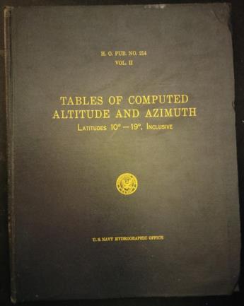
Earlier this week, I bought on eBay part of the Pub 214 sight reduction tables. The total collection consists of nine volumes because each one only covers 10 degrees of latitude, and I was able to buy the three volumes that covers from 10-20, 20-30 and 30-40 latitudes. Since I live in Miami, that was all I needed to learn how to use them and do a couple of sight reductions practices. The edition I received was printed in 1952 and it fairly good condition.
As probably most of us, I usually work with the Pub 249 tables and occasionally with the Pub 229 tables. For those that never used Pub 214, here goes some of the main features:
- It covers body declinations from zero to around 75 degrees, so it can be used with any celestial body and navigational star (except for Polaris)
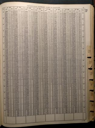
- Declinations are divided in columns with a difference of 30’ between them, rather 1 degree separation in Pub 249
- The Hc correction for minutes of declination can be done to 0.1 minutes, so it is more precise than Pub 249 and equals table 229.
- LHA column is the smallest angle difference between the celestial body GHA and the assumed position longitude, so it is always less than 90 degrees.
And the most interesting feature is that you can do the sight reduction in three separate ways regarding the assumed position:
- By using a whole degree of latitude and a longitude that would give an entire number of LHA (as we would do with table 249)
- By using a whole degree of latitude and the dead reckoning longitude. The table provides a delta for longitude correction.
- By using both dead reckoning latitude and longitude. The table provides a delta for both corrections.
Sincerely, I am not sure what the advantage would be in using the dead reckoning latitude and longitude (rather than the assumed ones) when doing the sight reduction. The intercept and azimuth will be different, but the resultant lines of position would intercept on the same point. I leave this question open for discussion.


