NavList:
A Community Devoted to the Preservation and Practice of Celestial Navigation and Other Methods of Traditional Wayfinding
From: David Pike
Date: 2015 Mar 7, 02:22 -0800
To see the efforts that agencies in the UK go to keep their charts up to date you only have to go to the Associated British Ports – Humber (ABP Humber) site. Their Hydrographic Office is responsible for Surveys from the Humber Approaches up into the R Ouse and down into the R Trent. They print their own charts and also supply soundings to UKHO. The general policy is here: https://www.humber.com/Estuary_Information/Navigating_the_Estuary/Hydrography_and_Hydrographic_Services/
The recency is here: https://www.humber.com/Estuary_Information/Navigating_the_Estuary/Chart_Viewer/ You’ll see it was last changed yesterday and last updated today.
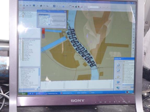
I’ve been out with them a couple of times. It’s amazing. You do the survey in the morning and by mid afternoon the survey’s available to all on the WWW. This is the area I sail from at Brough Haven: https://81.19.55.87/abppublisheddocuments/Reads%20Island%20to%20Whitton%20-%20Surveyed%2023rd%20and%2024th%20February%202015%20-%20with%20moves.pdf last surveyed
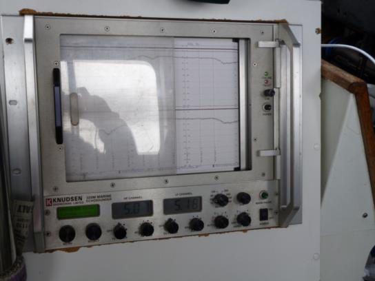
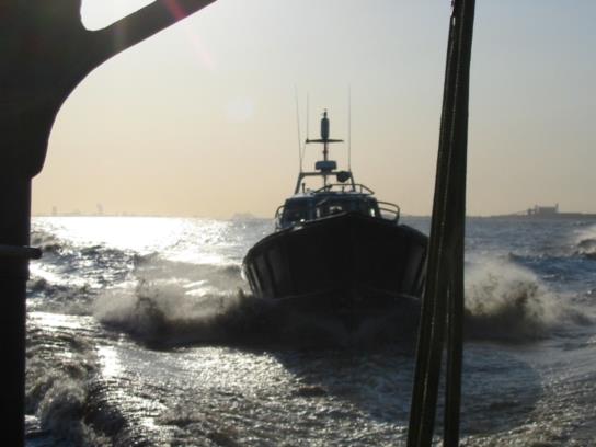
Interestingly, their sounder is quite powerful and the trace distinguishes between soft mud at the top and hard mud below. Below are a few happy snaps from my last two visits.


