NavList:
A Community Devoted to the Preservation and Practice of Celestial Navigation and Other Methods of Traditional Wayfinding
Re: Timing Upper Limb Sunset by Camera
From: Greg Rudzinski
Date: 2015 Apr 7, 16:13 -0700
Attached File:

(Neptunes-Net-Lat-Lon.PNG: Open and save)
From: Greg Rudzinski
Date: 2015 Apr 7, 16:13 -0700
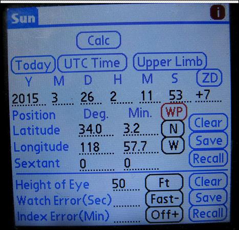
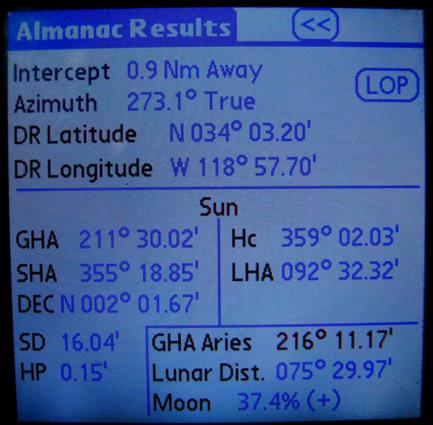
Second try at sending chart and smart phone data for upper limb sunset.
From: Greg Rudzinski
Date: 2015 Apr 7, 15:25 -0700
Bill,
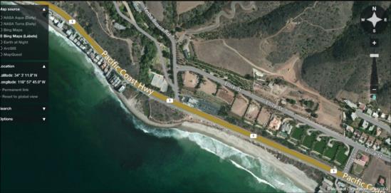
Here are images of my smart phone data, chart, and Flash Earth. The bus was traveling WNW on PCH between Tonga St. and Neptune's Net. The blue tank seen below the minus sign on the Flash Earth image is the tank as marked on the nautical chart.
Greg Rudzinski
Attached File:

(Neptunes-Net-Lat-Lon.PNG: Open and save)


