NavList:
A Community Devoted to the Preservation and Practice of Celestial Navigation and Other Methods of Traditional Wayfinding
From: Frank Reed
Date: 2020 Mar 1, 09:57 -0800
In my introductory navigation classes, I like to show folks where the Sun will be at the zenith during the course of the day. This is the sub-Sun point, or, as it's known in traditional celestial jargon, the GP of the Sun. The Dec and GHA of the Sun are identical to the Lat and Lon (West) of the sub-Sun point.
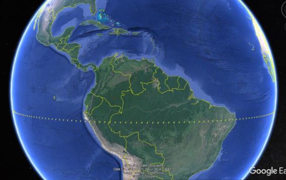
Lately I've been creating daily Google Earth KML views of the locations (example attached). This makes it easy to slide along the track and look for interesting places. For example, earlier today, the Sun was at the zenith above the military base at Diego Garcia in the Indian Ocean. If you have Google Earth installed, you can download and view the file below. Many other viewers and tools support KML files. The format is a simple, extensible (but verbose!) variation on XML (similar to HTML), and if you open the file as plain text, you'll get a quick lesson in the format.
Frank Reed


