NavList:
A Community Devoted to the Preservation and Practice of Celestial Navigation and Other Methods of Traditional Wayfinding
From: David C
Date: 2017 Jan 23, 13:31 -0800
Here is the next instalment.........
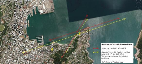
The difference between the intercept method and CoP app positions is partly due to errors in the azimuth plotted on Google Earth. I decided to eliminate this error by using Sumner's chord (two point) method. It is easy to plot accurate positions on google earth and draw lines between them. I have attached a revised plot. The sumner method position includes rounding errors so is not a perfect match to the CoP position. As would be expected the sumner and intercept position lines are parallel - it is satisfying to demonstrate this.
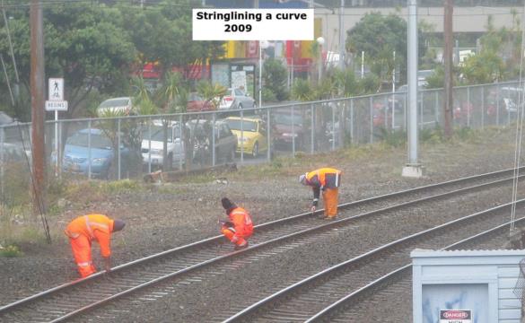
The position lines are approximations of a circle of position. The error can be determined by stringlining a curve. See the attached 2009 photo which shows measurements being taken without the ubiquitous GPS receiver on a pole. For details of the method see
https://en.wikipedia.org/wiki/Hallade_method
v = approx L2/(8R)
where v =versine
L = chord length
R = radius
All values in the same units. I will use nm.
T Alt approx = 44°
ZD = 46° so radius = 46 X 60 nm
Chord length = 1.91nm (measured on Google Earth)
From which v = 0.000165 nm
= .01"
Clearly in this case the assumption that the CoP can be approximated by a straight line is valid.


