NavList:
A Community Devoted to the Preservation and Practice of Celestial Navigation and Other Methods of Traditional Wayfinding
From: Robin Stuart
Date: 2017 Jan 26, 11:57 -0800
Brad,
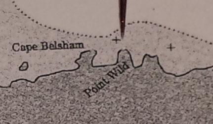
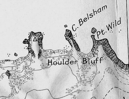
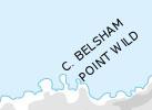
Thanks for this interesting summary. I looks like the modern situation hasn’t really gotten much better! Now there seems to be disagreement between charts and other sources as to where Point Wild is. While all modern sources I have seen place Cape Belsham as the next promontory to the west of Point Wild there are two possible placements for these. The Wikipedia entry for Elephant Island shows 2 maps that disagree with each other. I have attached cropped images from the various sources
Western Placement
Chart 29104 in your post (what is the date of the chart you show?)
Eastern Placement
Joint Services Expedition 1970 in your post https://NavList.net/m2.aspx/Transcription-Worsleys-Log-Morris-mar-2009-g7770
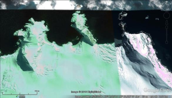
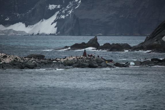
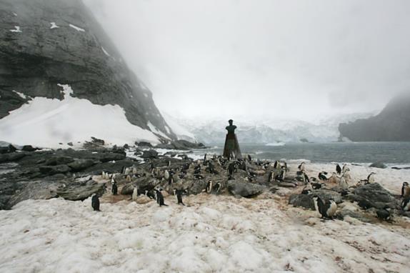
Looking at other evidence it appear to me that the eastern placement is the more likely. There is bust of Captain Luis Alberto Pardo with a plague that reads “Here on August 30th, 1916, the Chilean Navy cutter Yelcho commanded by Pilot Luis Pardo Villalón rescued the 22 men from the Shackleton Expedition who survived the wreck of the ‘Endurance’ living for four and one half months in this Island”. It’s position is given as 61°03'S, 54°50'W which is in the sea 3 miles to the north. Although it is difficult to be certain, photographs of the area (attached) show it to with a large nearby rocky islet offshore and a fairly major ice fall to what I take to be its west. Comparing to Google Earth views of the ice fall this would seem to favour the eastern placement, The area is relatively snow free compared to the alternative. Wikipedia gives the location of Point Wild as 61°06'S, 54°52'W correct for the eastern placement.
Done anyone have access to a Admiralty Chart 449 to see how it labels things. I would expect it to be consistent with the Joint Services Expedition.
In my .kml file posted yesterday I adopted the western placement for the modern positions but will be adjusting this,
Robin Stuart
