NavList:
A Community Devoted to the Preservation and Practice of Celestial Navigation and Other Methods of Traditional Wayfinding


From: David Pike
Date: 2026 Nov 20, 03:06 -0800
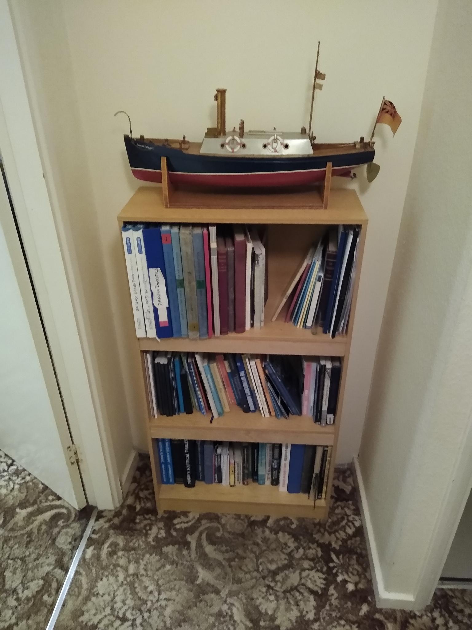
Oh no! not another Frank puzzle. Just when I was almost finished my super strengthened bookshelves to hold my nav books (published max load 2kg/shelf. DP Strengthened with 45mm x 20mm oak web, max load ????)
26Nov2026. 14.17 UT. Venus Hs 39° 11’ – 4.3’ dip – 1.2’ Ho=39° 05.5’.
From AirA. 14.10UT. dec Venus= 09° 39’s.
Using MerPass. Lat= 90°-(9° 39’+39° 05.5’)=41° 15.5’N = 41.2583° N
Dist to sea horizon from 20’= 5.1nm
Looking at Google maps. Where can you see a sea horizon from mainland to the SE from around 41° 26’N. Answer Probably Point Judith Lighthouse 17kmSSW of Jamestown.
Oh, even more times no! I need to check against the Sun. Should I get the ‘yellow band’ (AP3270/HO249 Vol3) out? No, let’s cheat using ‘Navigator’
Lat & Long 41° 21’ 40”N 071° 28’ 53” Time 14:18:01UT 2026.
From ‘Navigator’ Hc°=21° 43.1’-16.2’sd+1.5’ref+4.3’dip= 21° 32.7’
Intercept 21° 33’-21° 32.7’=0.3nm away
That’s close enough for me. You’re at Point Judith Lighthouse Frank. Good shooting. DaveP