NavList:
A Community Devoted to the Preservation and Practice of Celestial Navigation and Other Methods of Traditional Wayfinding
From: Dick Pratt
Date: 2015 Nov 1, 05:31 -0800
Seen vids of a few navigators consulting their paper charts after the Team Vestas Wind accident. I didn't see any vids of actual CN after the accident. There were some interesting developements in later legs of the race, in regards to course management. One of the most intriguing was the leg 4 split, as two boats went north before making their southing, as PUMA did in the previous edition of the race. - and I might add quite successfully.
https://www.youtube.com/watch?v=4PukF6OJZ8o&feature=youtu.be&t=491
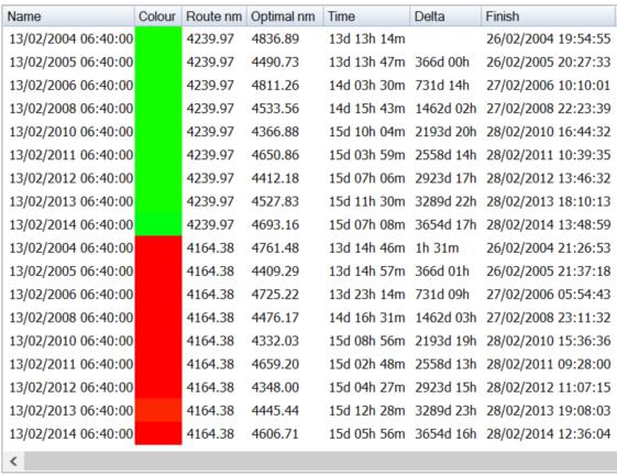
As seen in the vid, the reliance upon electronic navigation is firmly entrenched. The GRIB weather files are plugged into Expedition or routing program of choice, along with TideTech ocean and tidal current models. The routing program predicts more then a few routes, and it's up to the skipper and navigator to roll the dice. As noted in the vid, sometimes one has to throw the grib files out, especially when unstable weather presents localized weather cells. It's imperative to stay in good wind pressure, and boats need to either skirt or stay in front of these localized weather cells. They certainly don't want to sail into the rear of a cell and the resulting light air & zephyrs. Is these conditions hands on deck watch these localized cells direction and try and stay in front of them or skirt them. Once past the localized cells, then it's time to rely on the predicted routing, and keep the pedal to the metal and avoid terrafirma.
The first two images are the routing predictions. The third image is the actual routes sailed by the fleet. The fourth image is the TideTech ocean & tidal current overlay.


