NavList:
A Community Devoted to the Preservation and Practice of Celestial Navigation and Other Methods of Traditional Wayfinding



From: Frank Reed
Date: 2026 Aug 31, 07:45 -0700
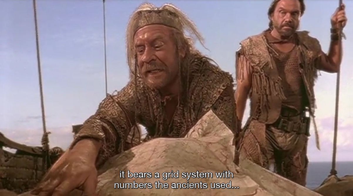
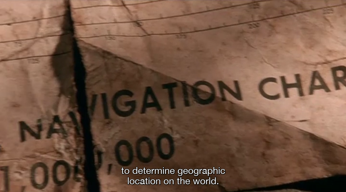
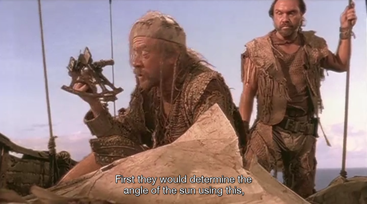
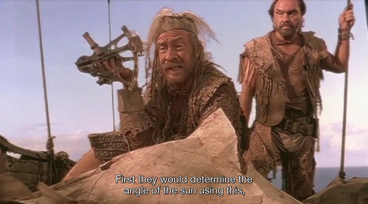
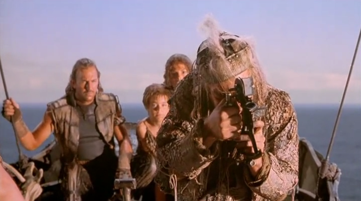
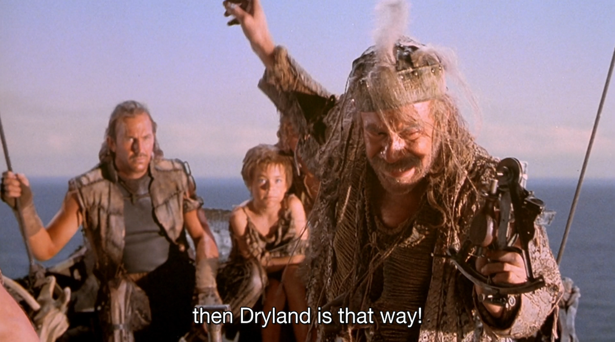
In the movie "Waterworld" (1995), near the end, there's some implied celestial navigation. There is an "extended edition" known to fans as the Ulysses Cut that extends the scene a bit... Still no exciting action-filled calculations with sexagesimal numbers and no reveal of an old copy of the Nautical Almanac (or some similar table of Sun declination), but there are more shots of the sextant than in the theatrical release of the film.
Can you identify the sextant?
While it would be possible to sail to the correct latitude of "Dryland" (implied to be Mount Everest and nearby areas in the highly exaggerated sea level rise in the movie), they suggest nothing about longitude. As a thought experiment, what would you need, post-aquacalypse, to make your way to some historical latitude and longitude (assuming unlimited provisions)?
The science and geography in "Waterworld" were nonsensical. Even if the polar icecaps melt completely, sea level would rise only a few hundred feet --not a good thing for a hundred million or more people living near sea level, but nothing like the movie. In addition, our hero goes diving on the sunken remains supposed to be Denver. But if only the upper few thousand feet of Mount Everest are above sea level, Denver would be over 10,000 feet deep in the fantasy global ocean. Not diving territory --even for a mutant with gills. But yeah, just a movie. Against those inconsistencies, the flaws in the celestial navigation are minor!
Frank Reed